Wednesday, Oct 25, 2017
Leaving Buenos Aires
Wake-up call was at 545. And thus the trip began. We all gathered for breakfast in the Sofitel hotel. You could feel the excitement and anticipation. We were off on a National Geographic (Nat Geo for short) trip to the Falklands (or Islas Malvinas as the Argentinians call it – more on this later) and South Georgia Island. A place people say is one of the most beautiful in the world.
The Andes
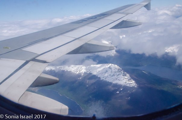
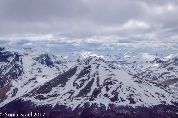
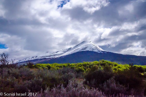
We were bused to the domestic airport where we boarded a charter flight to Ushuaia. From the window of the plane we could see the Andes, covered in snow, below us. The Andes are the longest continental mountain range in the world, and the highest outside of Asia, forming a continuous ridge from the western edge of South American running 4300 miles long, 120-430 miles wide and with an average height of 13,000 feet. They extend from north to south through seven countries, including Venezuela, Columbia, Ecuador, Peru, Bolivia, Argentina and Chile. Good that we were flying over it and not trying to hike over it!
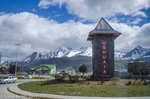
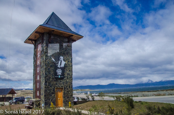
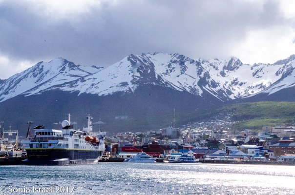
Ushuaia
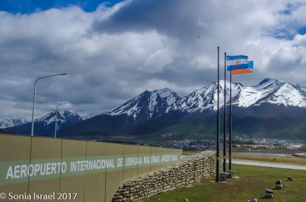
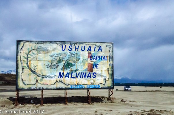
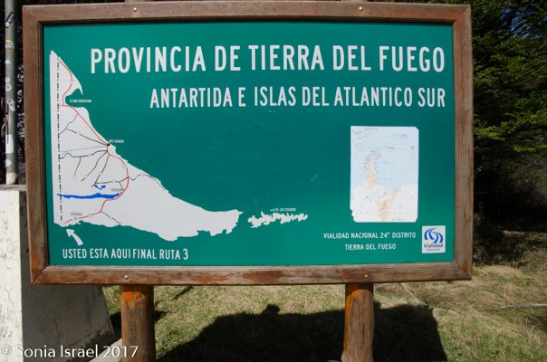
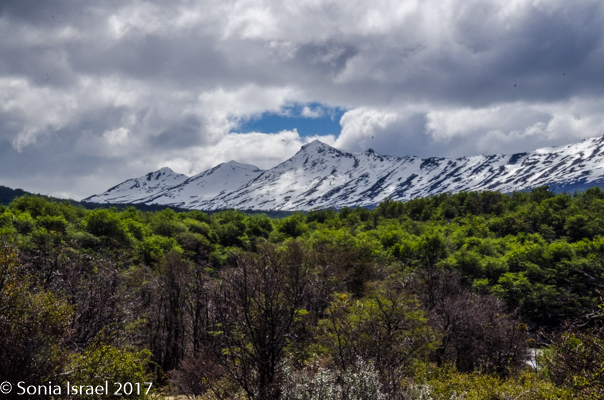
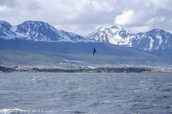
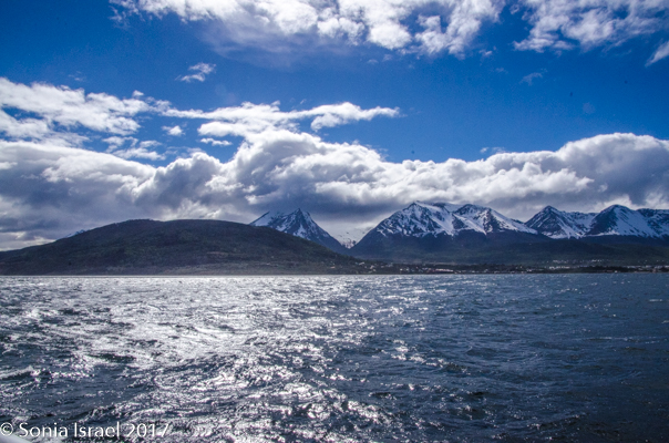
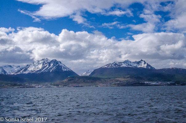
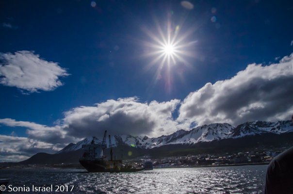
We landed in Ushuaia and boarded buses that would take us through Tierra del Fuego to Lapataia Bay. The sky was a brilliant blue brushed with white clouds and with a background of snow-capped mountains. And it was clear we were in Argentina as the map welcoming us had the Falklands labeled Malvinas.
As I walked down the aisle of the bus, I heard a New York (NY) accent. I asked this woman, “Is that a NY accent I hear?” Yes, of course it was. Hillary and Stu did both grow up in NY, and do still spend time there, but mostly live in Northern California. But the NY accent remains. We connected right away and had dinner together on the ship almost every night. You never know how and when you will meet new friends. As Gianluca Colla, the Nat Geo photographer on the ship would tell us later in the trip, “There are no strangers, just friends you haven’t met.” He learned this from a 103-year old woman. So it is obviously true.
History of Ushuaia
Ushuaia is the capital of Tierra del Fuego and is considered the southernmost CITY, not only in Argentina, but in the world. Note that I emphasize “city” because there is more southern community, Puerto Williams, Chile which has about 2000 residents. So Ushuaia is called the southernmost city while the other is called the southernmost settlement and everyone is happy.
The word Ushuaia comes from the Yaghan language ush and waia (“bay” or “cove”) and means “deep bay.” The Yaghan (also called Yamana) were some of the first natives to inhabit Ushuaia. The Yaghan people, living in the harsh environment, survived on the natural resources, living on the beaches, making voyages into the sea in canoes made of beech, hunting sea lions and collecting shellfish. They lived in huts made of tree branches and trunks. They smeared their bodies with the fat and grease of these animals to waterproof their skins. But as with all “progress,” when the missionaries arrived, they brought disease with them, and the number of Yaghan were reduced from about 3000 to less than 100. Today, only one native speaker, living in Chili, remains.
The British ship, the HMS Beagle, with Charles Darwin aboard, reached this area in 1833. The channel separating the islands of Tierra del Fuego Archipelago was thus named the Beagle Channel. British missionaries soon followed. A few decades later, Ushuaia became a penal colony, similar to the ones in Australia. The prison 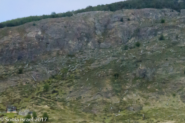 was the main activity in town and the prisoners were used to clear the woods, chopping down trees form sunrise to sunset. The wood was used to build the houses around Ushuaia. And to this day, the trees have not grown back.
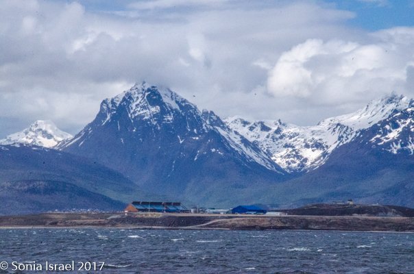
The prison was closed in the late 1940s but many of the guards stayed. But it wasn’t until the 1980s that factories opened, tourism increased with trips to Antarctica and the city grew. But it grew with urban chaos, no plans, so design, just build, build, build. We were in Ushuaia about 15 years ago and then it was a sleepy town. Not any more. Now there are condos being 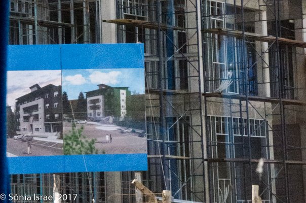 built everywhere. And our guide proudly told us there is now a golf course. Only nine holes, but nevertheless, a golf course.
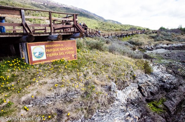
Tierra del Fuego National Park
But in addition to being a jump off point for Antarctica, Ushuaia is known for being an entry way into Tierra del Fuego National Park, the first shoreline park to be established in Argentina. Why is it called Tierra del Feugo, Land of Fire? The Yaghan were often naked and it gets very cold in this part of the world, so they used fire to stay warm. The European explorer Ferdinand Magellan spotted the fires burning along the coastline and gave this place its name, Land of Fire. Tierra del Fuego.
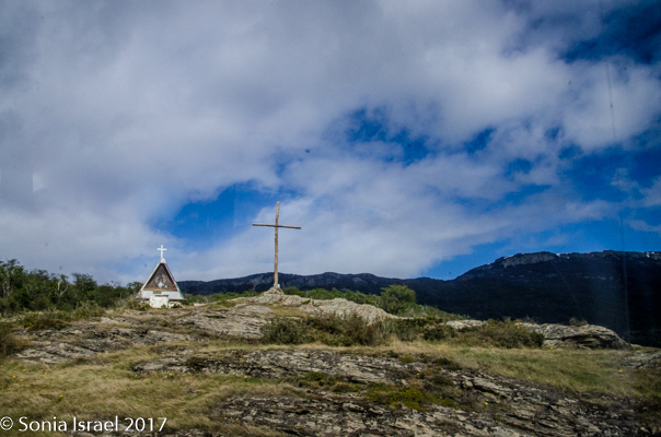
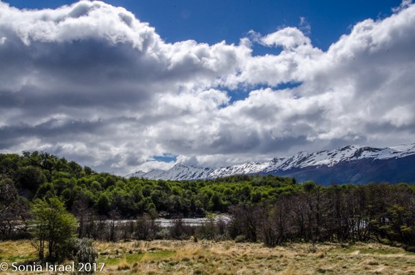
As we drove Highway 3, a dirt road leading to the last point reachable by road, heading to the very end of the world, we were told about the history of the Park.
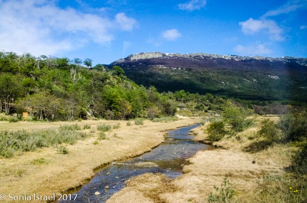
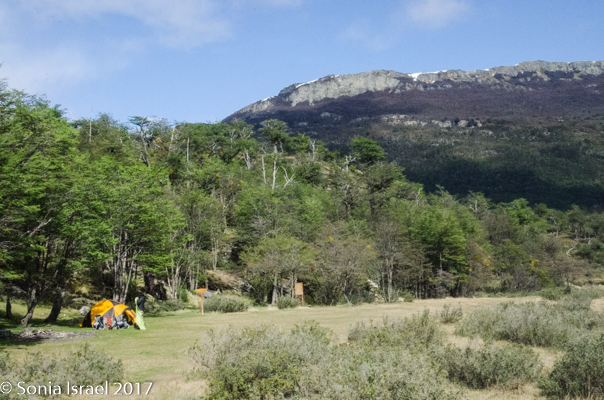
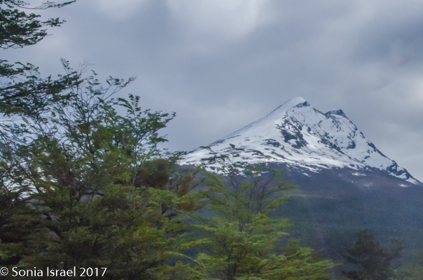
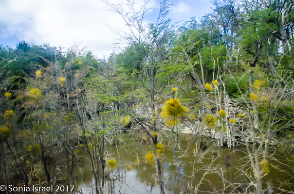
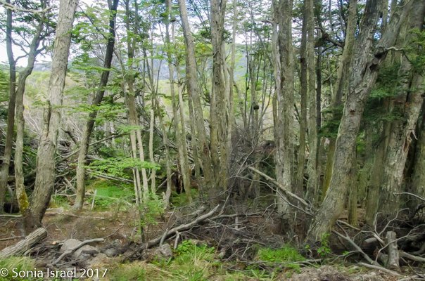
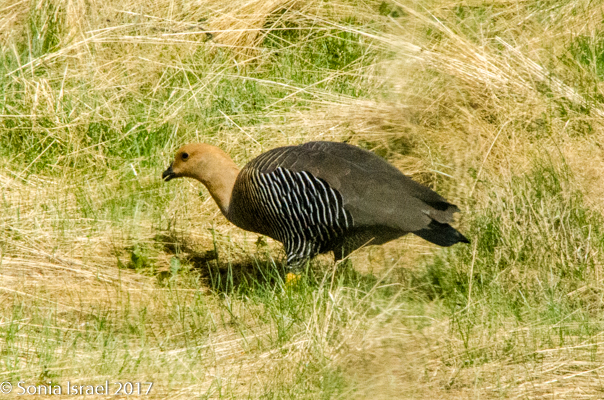
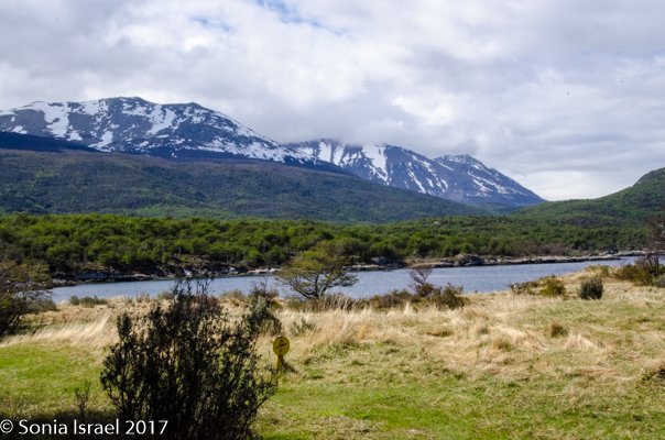
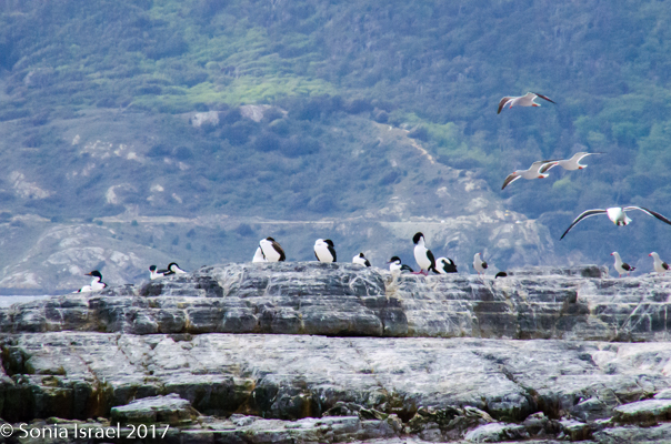
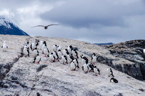
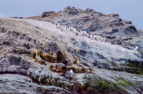
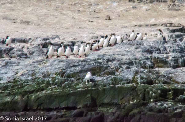
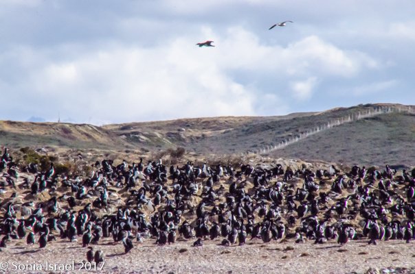
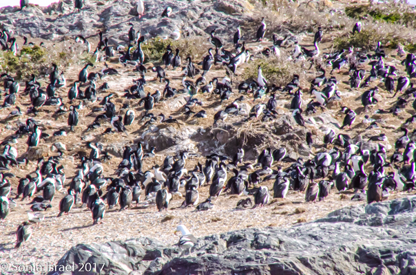
The park is about 240 square miles (or 160,000 acres) and is filled with dramatic scenery with waterfalls, lakes, forests, mountains and glaciers. The most common trees we saw were the beech and evergreen, but there were lots of others. And animals and birds. There are 20 species of mammals and 90 species of birds here.
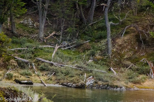
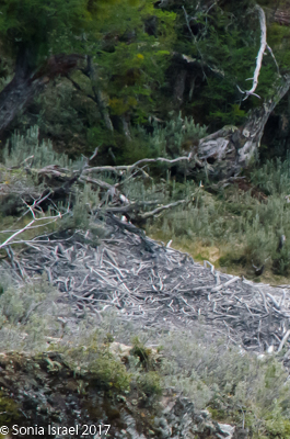
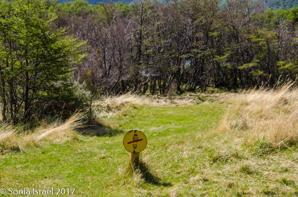
The biggest problem right now are the beavers. They were introduced to the area in 1946 as a potential source of commercial fur trading. But while that didn’t pan out, the beavers reproduced and reproduced. Twelve pairs were initially introduced. Now there are over 1.5 million! And since they have no natural predators, they have become a serious threat to trees which they chop down for their dams and which never grow back. They cause floods with their dams which effect the surrounding vegetation. And even if the dams are destroyed, the accumulated mud buries the seeds needed for forest regeneration. And they are quickly moving up the coast into Chile. So now the governments of Chile and Argentina are trying to eradicate the beavers. And we saw this damage. We saw the chopped down trees. We saw the dams. The destruction was vast.
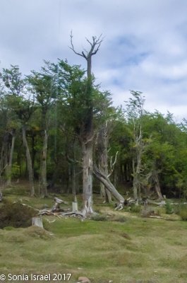
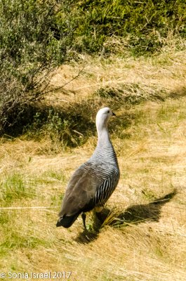
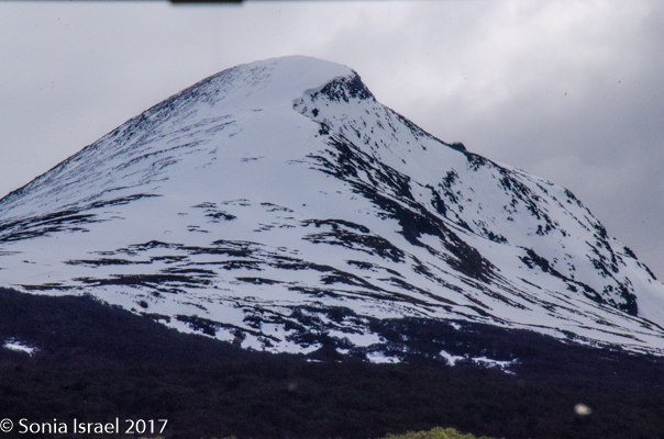
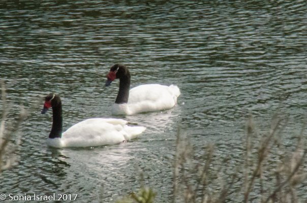
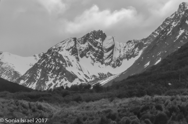
But there is still so much beauty here. The mountains towered over us, with the tallest sharp peak, Mt. Olive, standing out against the blue sky. We learned that the round mountains were polished by the ice and so are shorter. The sharper mountains are the taller ones. We passed the green lagoon filled with two black necked swans. And geese were everywhere.
The end of the world
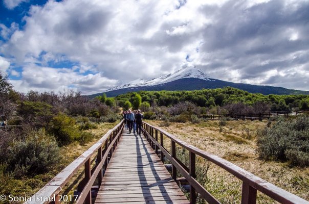
We arrived at the very end of the road.
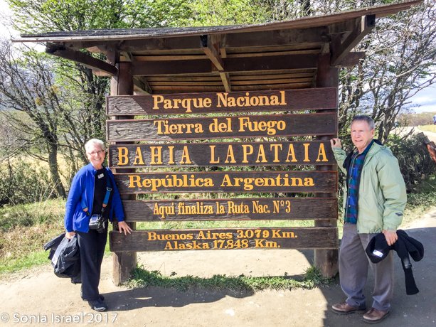
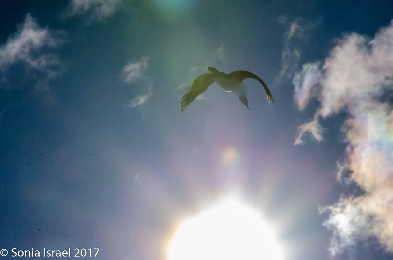
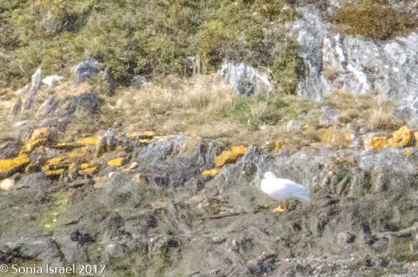
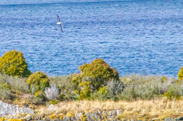
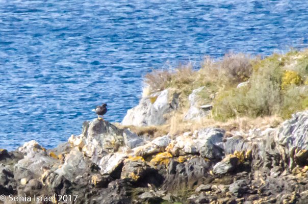
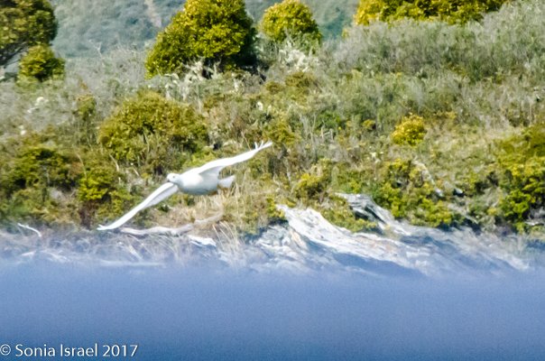
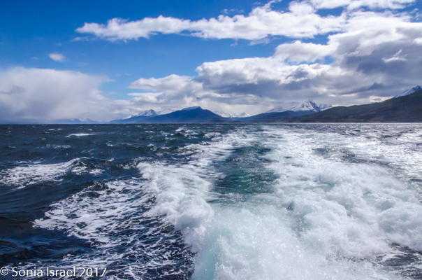
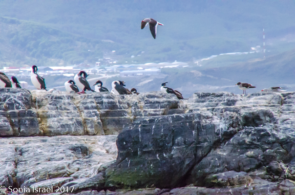
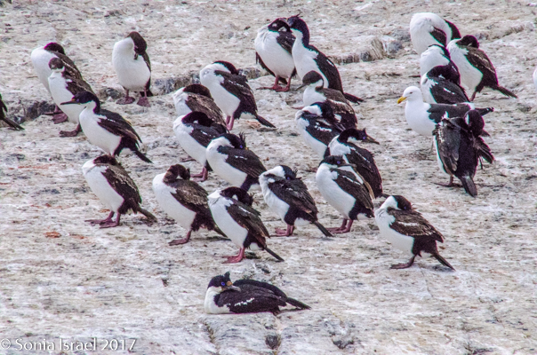
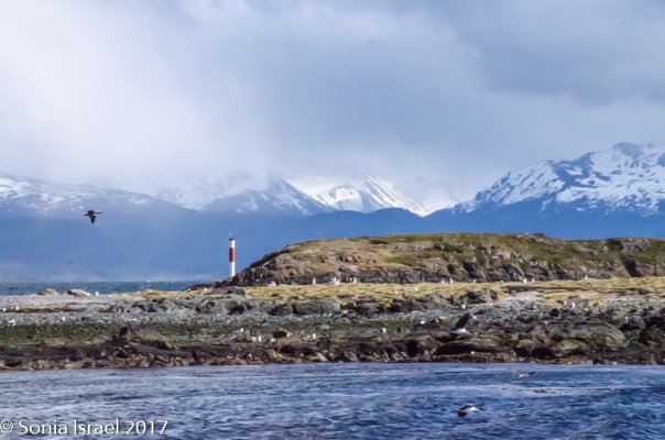
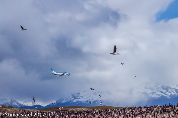
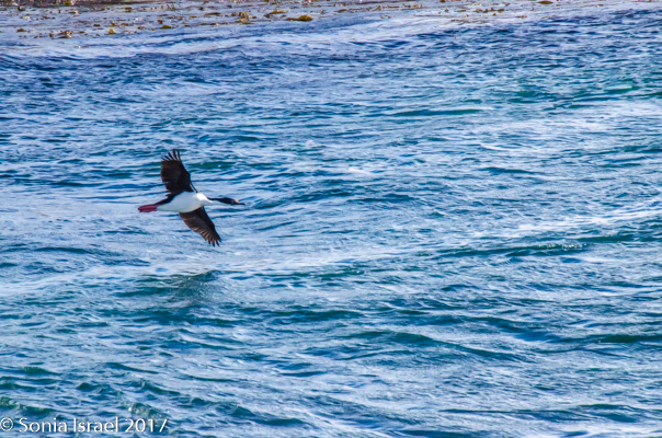
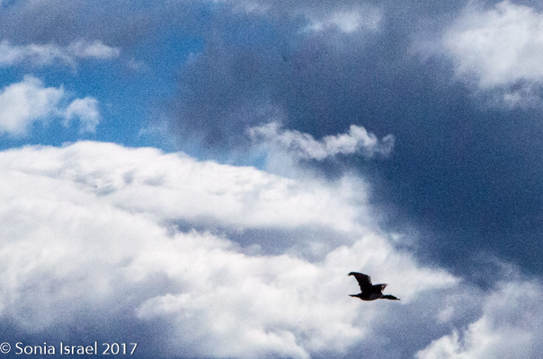
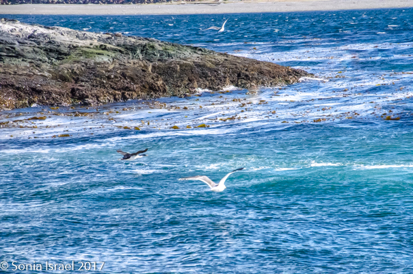
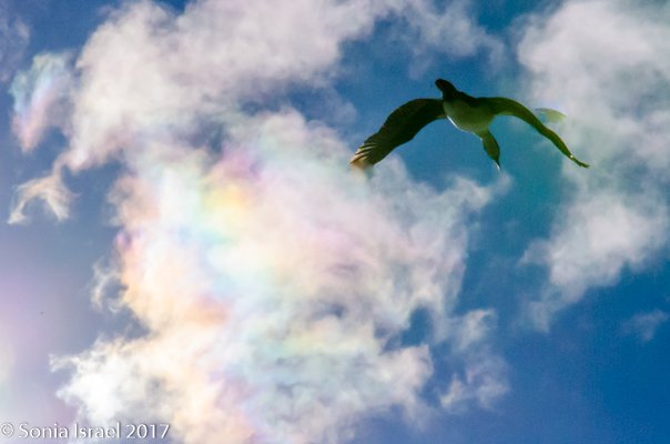
We all took turns standing at the sign announcing such, snapping pictures, and then made our way along the boardwalk to a catamaran that would take us on a two-hour cruise around the waters of the Lapataia Bay. The view of the mountains and the deep blue water from the boardwalk was spectacular, just as this part of world is known for. There were birds everywhere, and that is when we realized that there were quite a few “birders” on the trip. I came for the penguins, but I learned to appreciate the beautiful different species of birds as well.
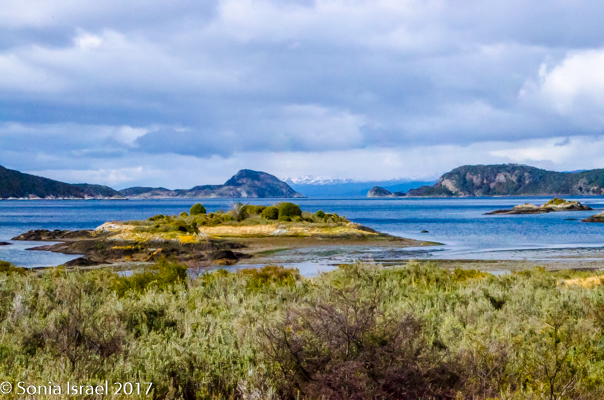
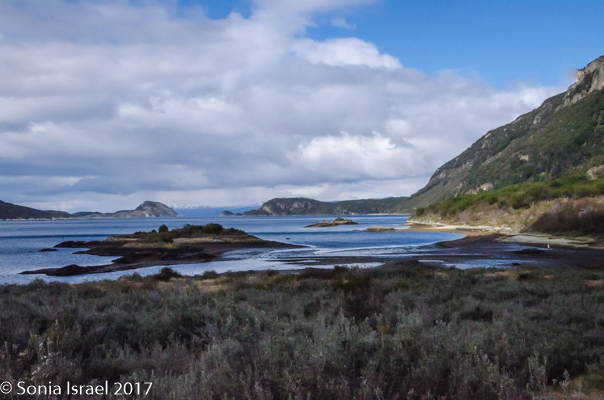
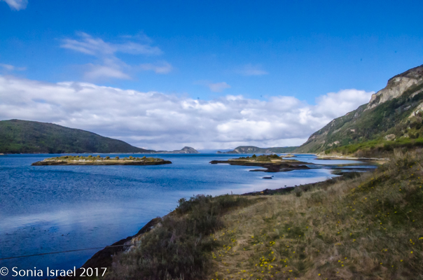
Lapataia Bay
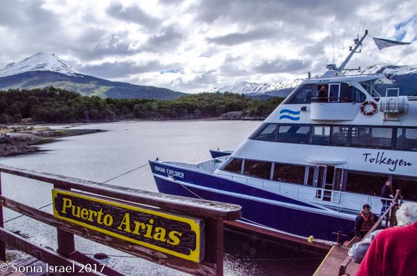
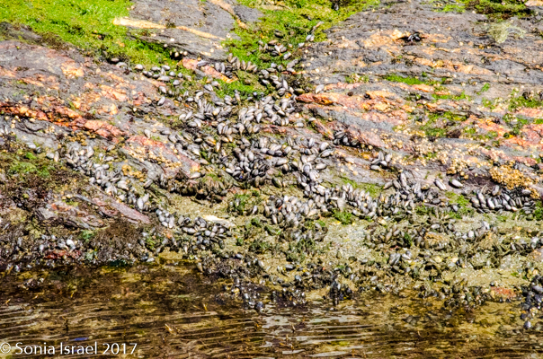
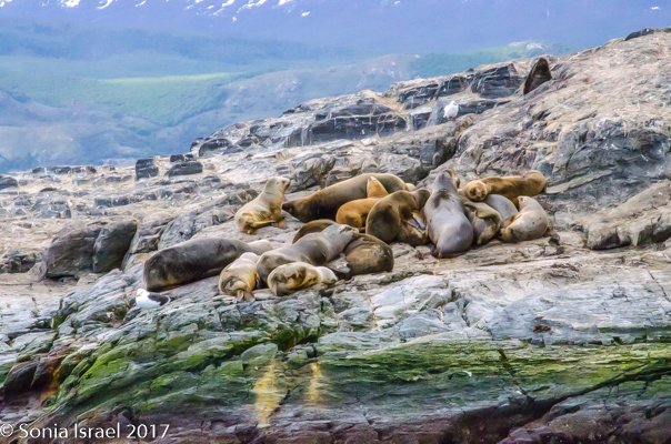
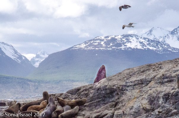
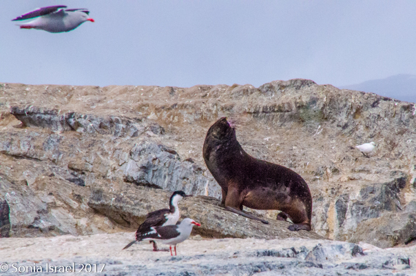
We boarded a catamaran. After a lovely lunch of salad and puchero (a traditional Argentinian Sunday dish of chicken stew and one that I was trying to sample, unsuccessfully, the whole time we were in Buenos Aires), we stepped outside to be greeted by petrals, shags and elephant seals. The birds were swarming the sky. The elephant seals were lazying on the rocks. And the cameras were clicking like crazy. A bit further we passed hundreds of other birds. They were skimming the water in groups and then soaring into the sky. This was just a preview of what we would see the entire trip.

We wandered around the boat, starting to meet our fellow travelers. There were people from all over the country, a few from outside the US, and some of the staff who would be leading us. The type of travelers on this trip were all sophisticated and experienced, as this is not the first trip people take. And that made each and everyone interesting, full of information about places around the world, and ready to share it.
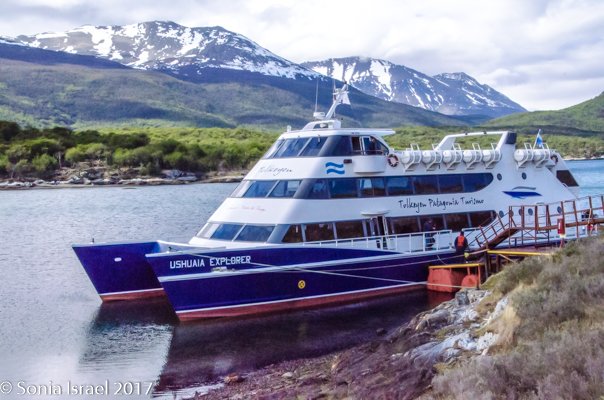
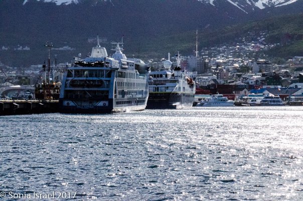
M.S. National Geographic Explorer
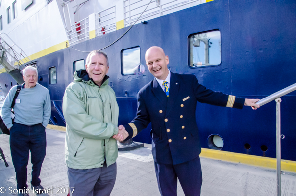
Suddenly we saw our ship, our home for the next two weeks, the M.S. National Geographic Explorer.
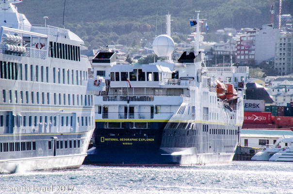
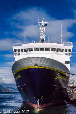
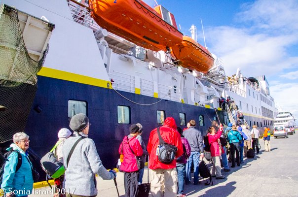
We queued up, shook hands with Andre, the hotel manager, made our way up the gangplank, and were shown to our cabin.
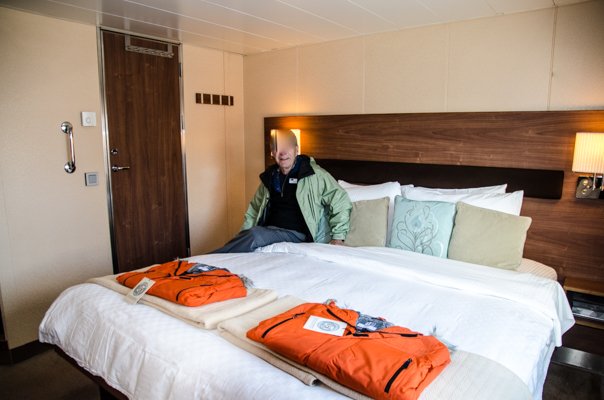
While reception was on the 200 deck, we were one level down, in cabin 318. Remember, the lower down you are, the more stable the ship is. This turned out to be a perfect location. Not far from either staircase, one floor down from the restaurant, one floor up from the mud room (from where we generally disembarked on the zodiacs). This was one of the smaller cabins, and thus cheaper, but was certainly big enough for the two of us. The bathroom had a full shower, a long clothesline for when we did our own laundry (although I wish I had brought some clothespins), and plenty of storage with two large drawers in the bathroom and 4 in the bedroom. Remembering that we would be on some rough seas, we secured everything and found that the drawers in both the cabin and the bathroom had locks on them so the drawers would not fly open on the open sea. There were robes and slippers, and of course life jackets.
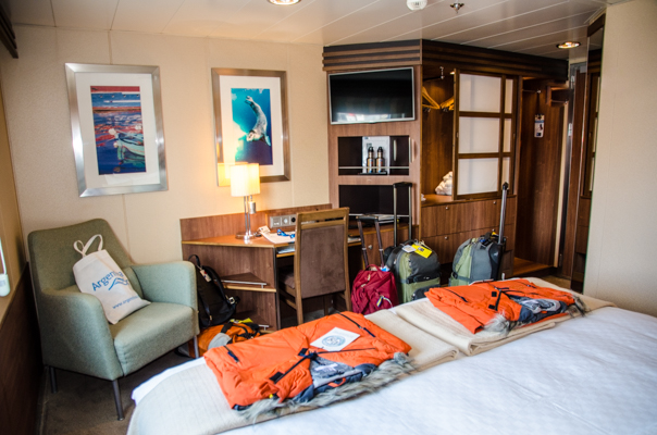


Our luggage was there waiting for us, along with our orange 50th anniversary Lindblad/Nat Geo jackets (50 years since Lindblad’s first expedition to Antarctica), 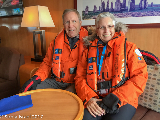 and after quickly unpacking we explored the ship. We were invited to the lounge for a welcome glass of champagne and some snacks and a welcome from the staff. And the mandatory life boat and evacuation drill.
The ship was not full. We were 113 passengers and 85 crew. And before the trip was over, we would know most of them. Our expedition leader was Doug Gualtieri, the assistant expedition leader, Patricia O’Brien. The staff included nine naturalists (Jamie Coleman, Dennis Cornejo, Jason Kelley, Bud Lehnhausen, Elise Lockton, Eduardo Shaw and James White), a global perspective guest speaker, Greg Marshall, two undersea specialists, Paul North and Caitlyn Webster (who turned out to live less than a mile from us), two professional photographers, David Cothran (who is also a naturalist) and the National Geographic photographer, Gianluca Colla, a video chronicler, Steve Ewing, whose video we could purchase at the end of the trip, and our captain, Captain Oliver Krub. Let me mention that Captain Oliver is one of the most beloved captains. He knows everyone working on the ship, including who their families are and their personal history. He pitches in whenever necessary, cleaning up after meetings and just plain acting like one of the crew, and not the boss.
Dinner that night was a buffet and then it was off to bed to catch up on some sleep.