My friend Ruthi and I were supposed to be in India, but due to COVID, that trip was canceled. So instead, we decided to visit Antelope Canyon, along with Horseshoe Bend. Once again I was awed by nature.
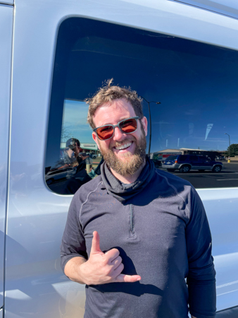
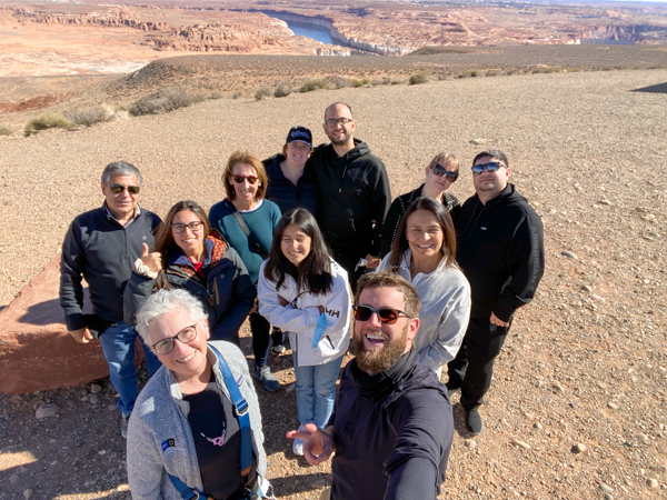
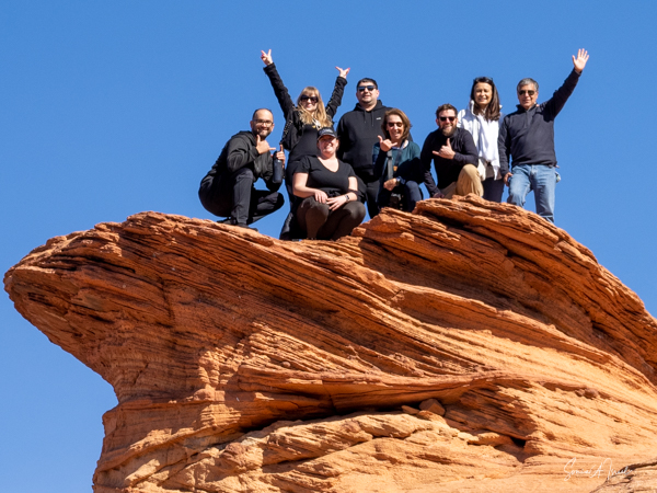
We decided we did not want to drive, so we flew to Las Vegas and connected with Mad Max Tours. Our guide supreme was Ted Caudle and we traveled with eight others.
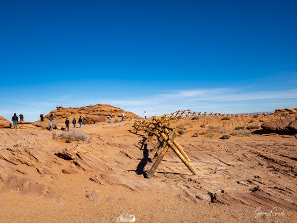
Antelope Canyon
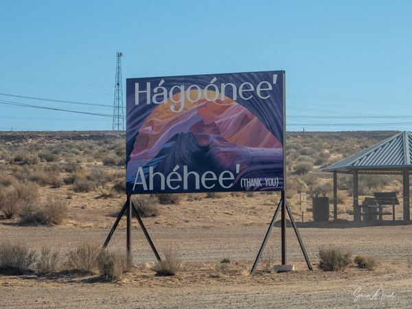
Antelope Canyon, which is estimated to be between 8-60 million years old, is located near Page, Arizona. It is located on Navajo land in the LeChee Chapter of Navajo Nation.
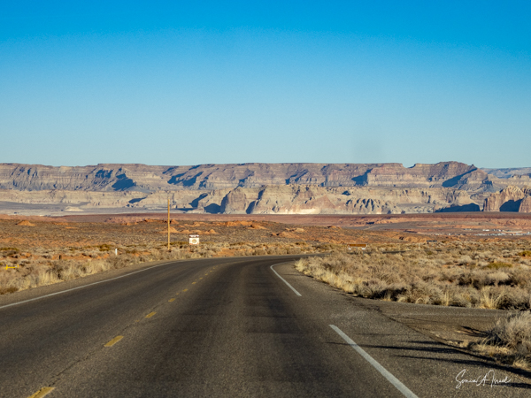
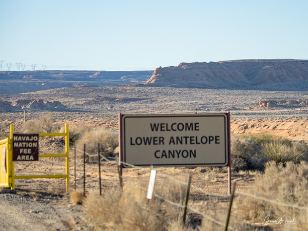
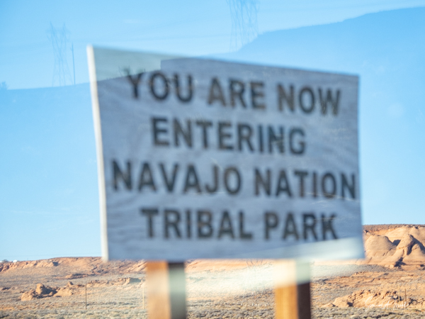
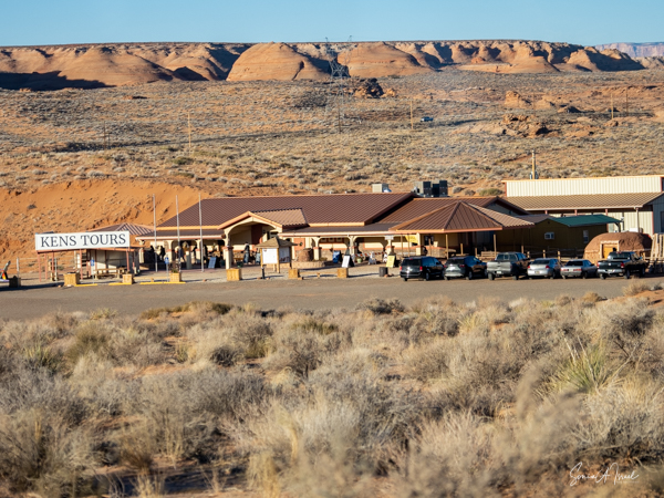
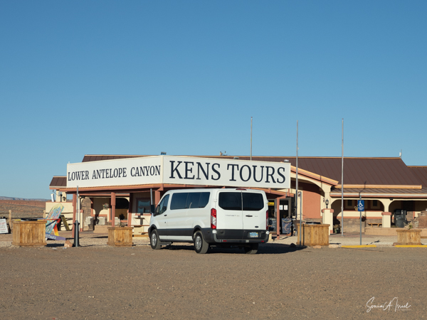
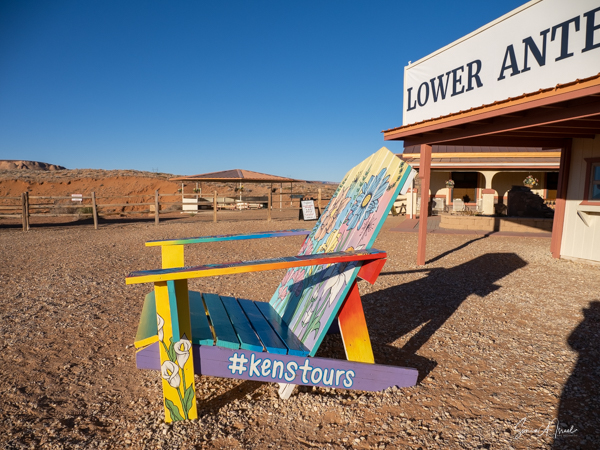
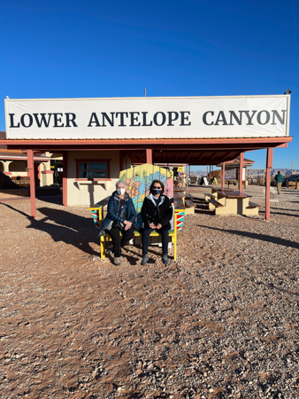
Because of the location, one has to use one of the Navajo guided tours. We went with Ken’s Tours.
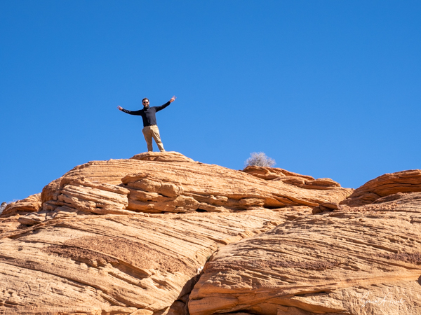
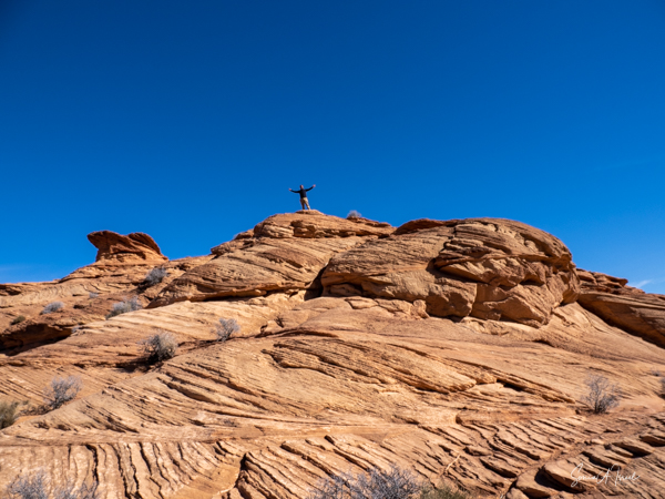
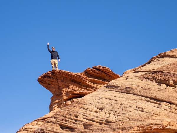
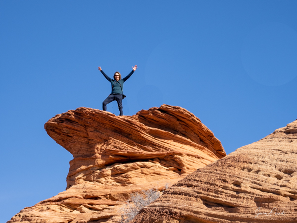
-
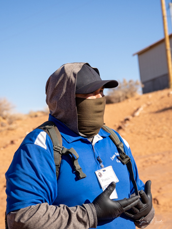
- Rod, our guide
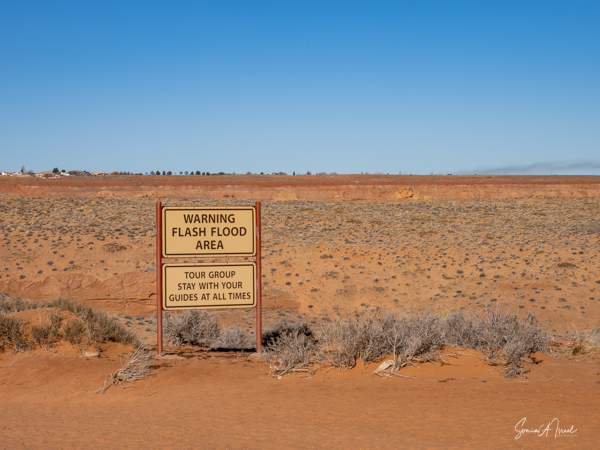
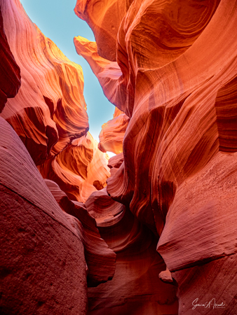
There are two parts of Antelope Canyon that are often visited, the Upper (The Crack) and Lower Canyons (The Corkscrew). But there are also three other slot canyons here, the Rattle Snake, the Owl and the Mountain Sheep Canyons. They are all slot canyons which means a very narrow gorge with steep and high walls made from basalt or sandstone. Slot canyons are deeper than they are wide and are very prone to flash floods which can make them dangerous.
And why is it called Antelope Canyon? Once long ago, pronghorn antelopes roamed here.
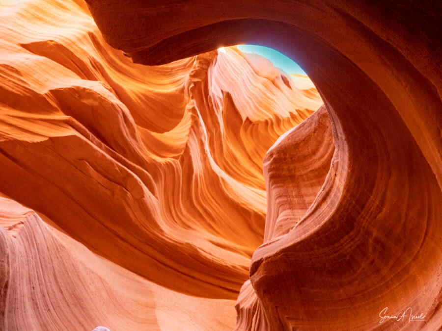
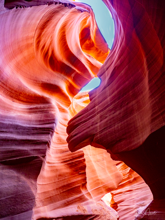
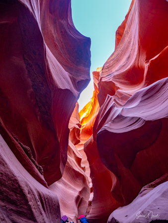
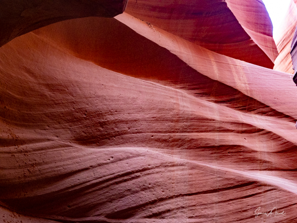
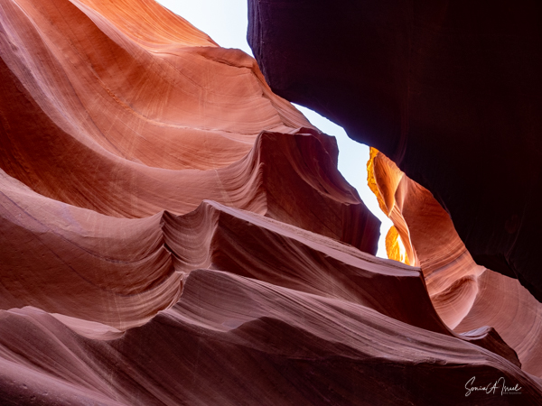
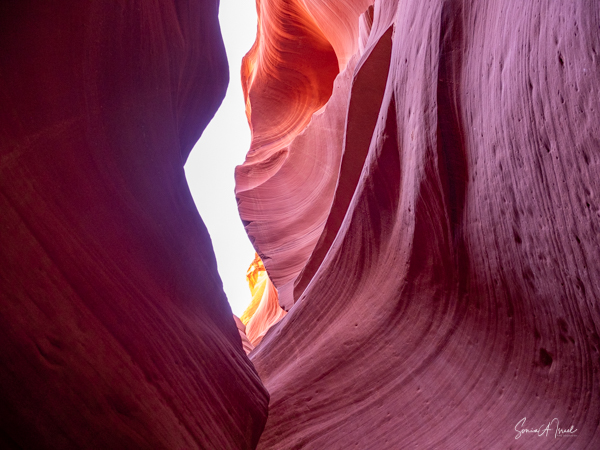
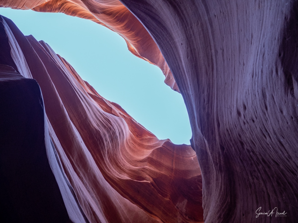
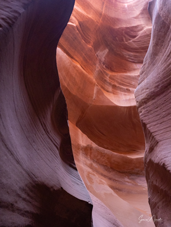
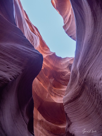
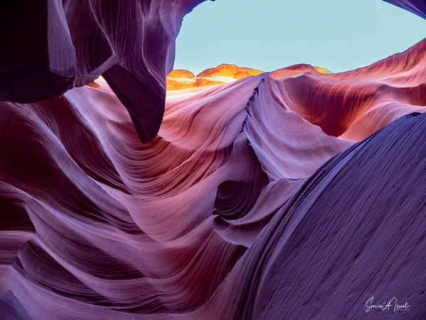
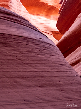
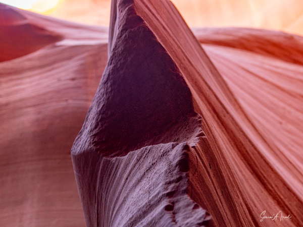
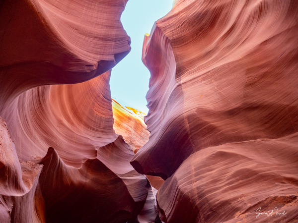
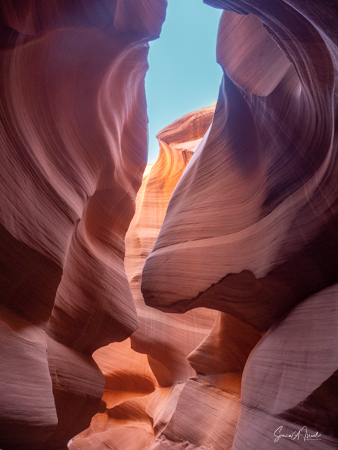
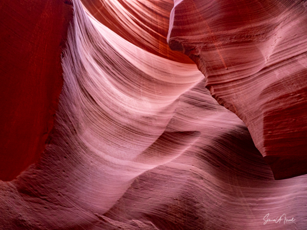
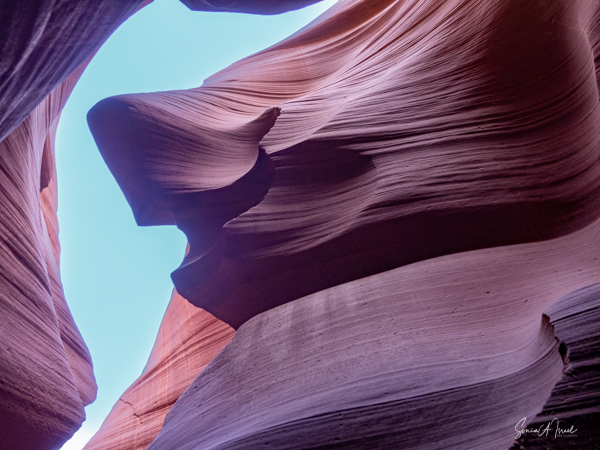
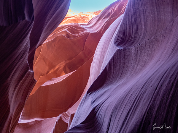
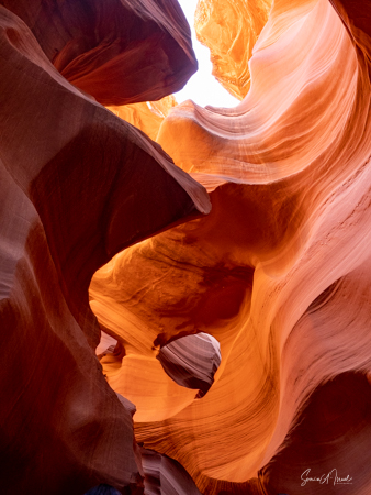
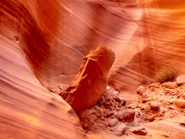
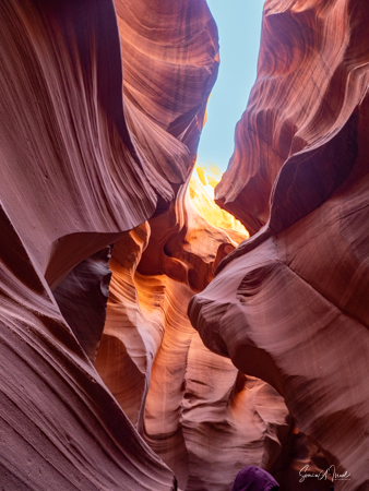
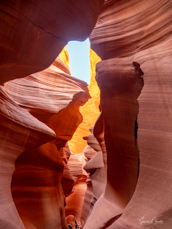
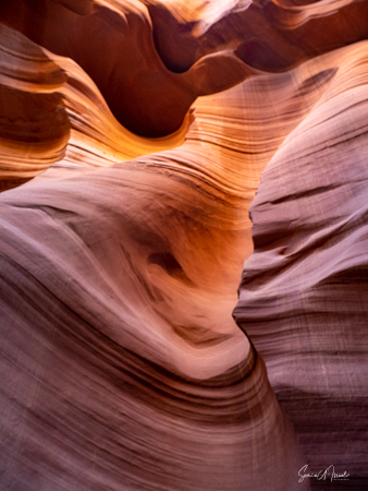
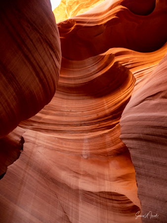
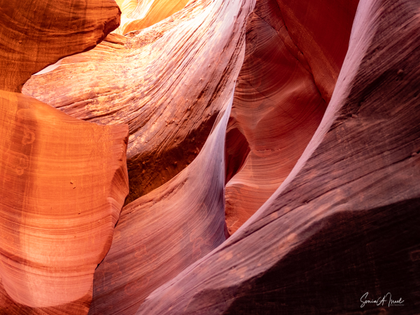
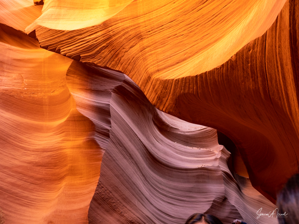
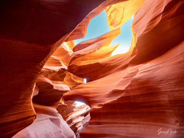
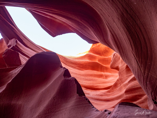
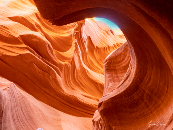
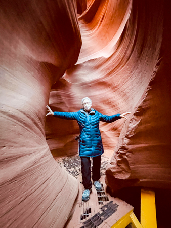
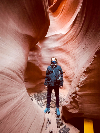
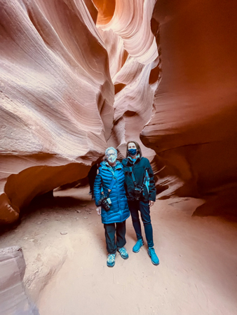
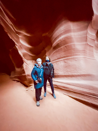
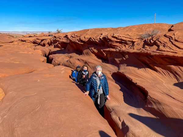
The Upper Antelope Canyon is called Tse Bighanilini by the Navajo, which means “the place where water runs through the rocks.” The Lower Canyon is called Hazdistazi which means “spiral rock arches.” We visited the Lower canyon.
Geology
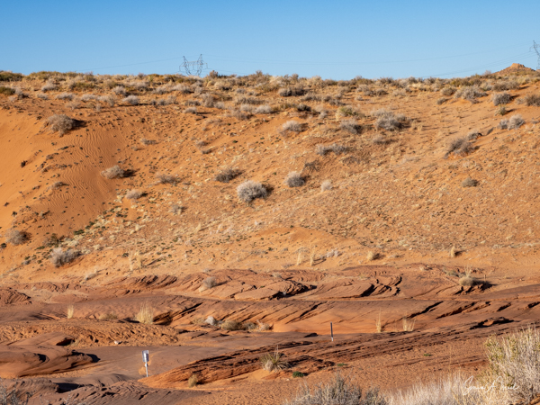
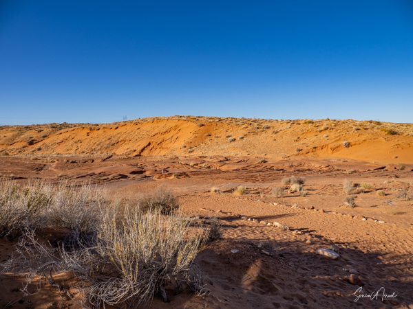
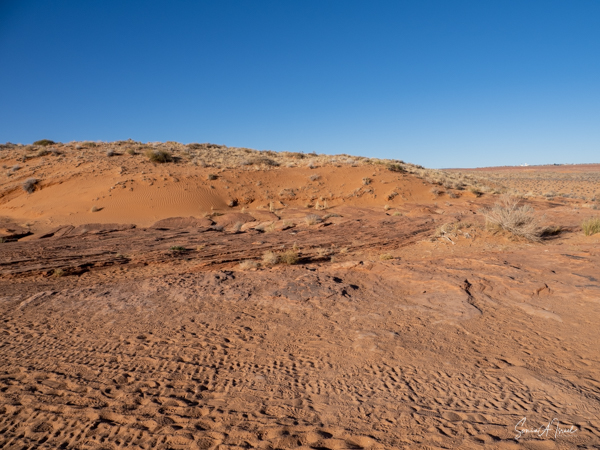
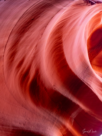
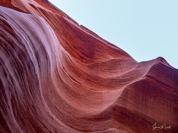
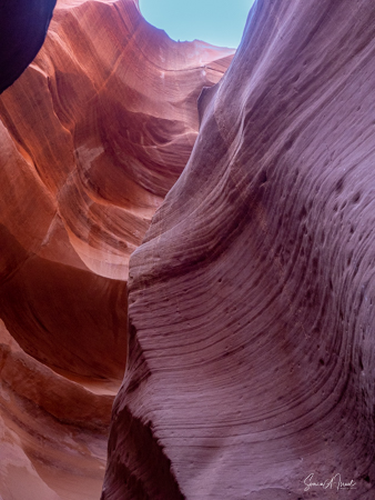
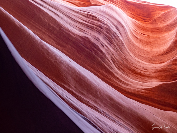
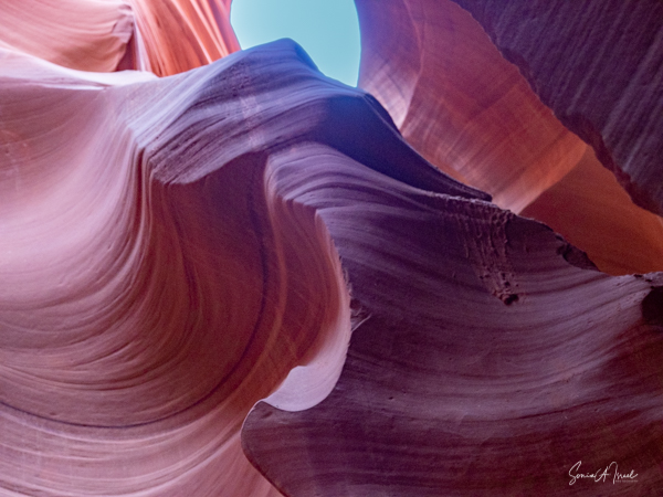
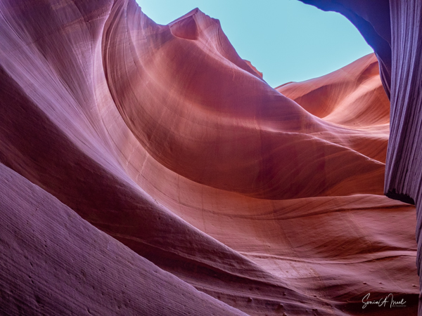
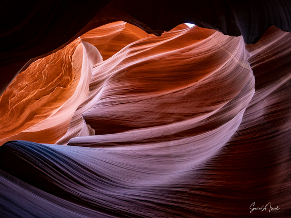
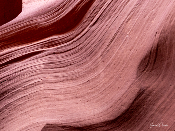
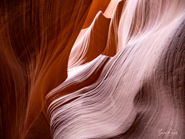
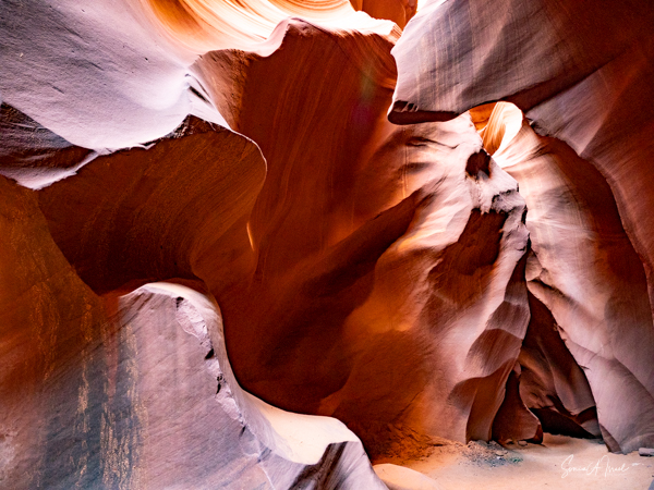
One can’t help be interested in the geology of this place. It was formed by the erosion of the Navajo sandstone by the flash floods. Rain runs into the basin above the slot canyon, and because of the shape of the canyon, gets faster and faster as it flows, picking up sand as it rushes into the narrow passages of the canyon. Over time, as this happens over and over again, the passage ways erode, making the canyons deeper and smoothing out the hard edges to form what we see – the flowing shapes of rock.
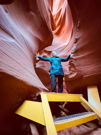
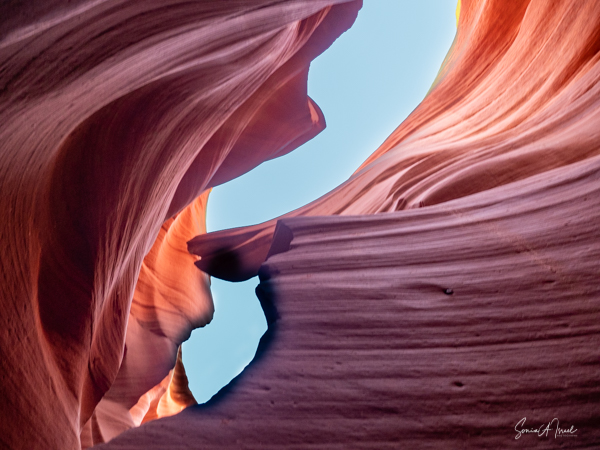
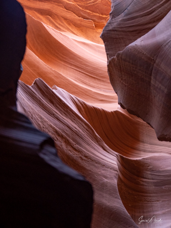
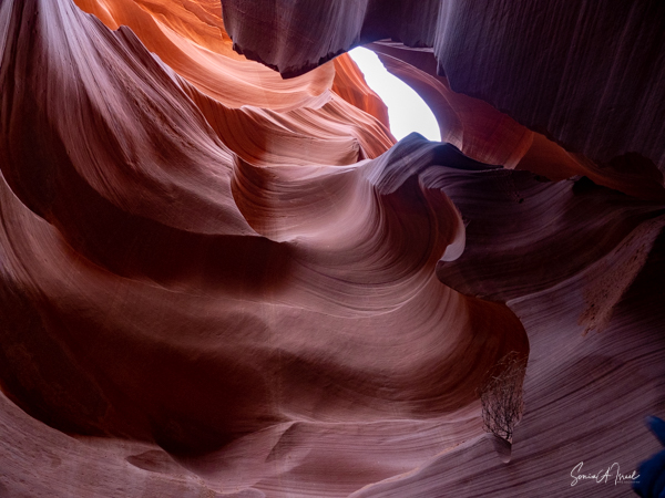
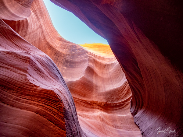
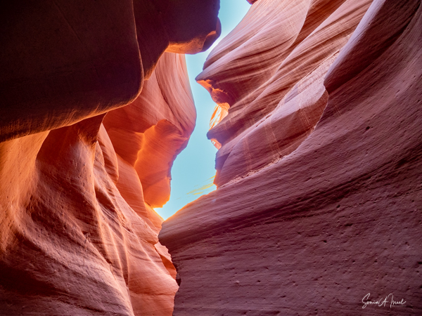
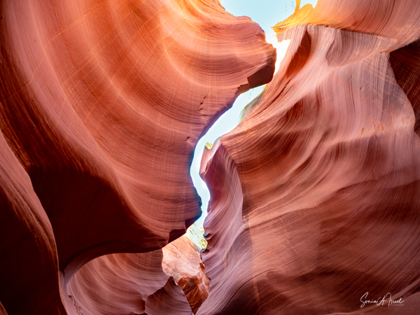
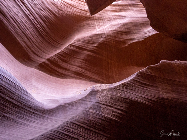
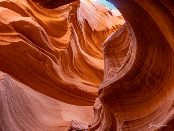
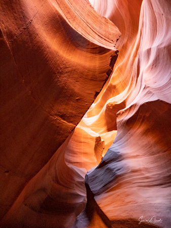
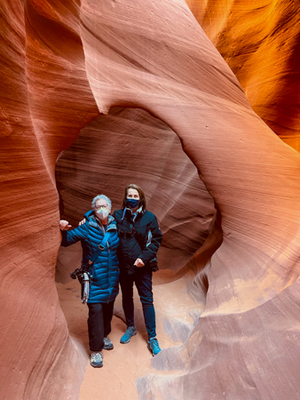
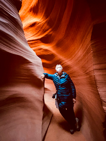
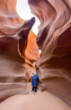
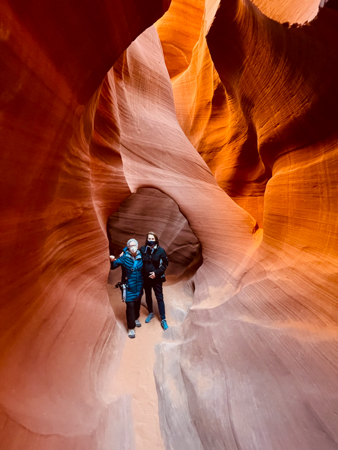
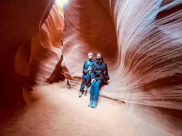
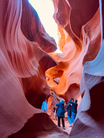
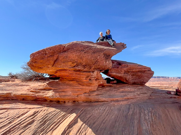
Lower Canyon
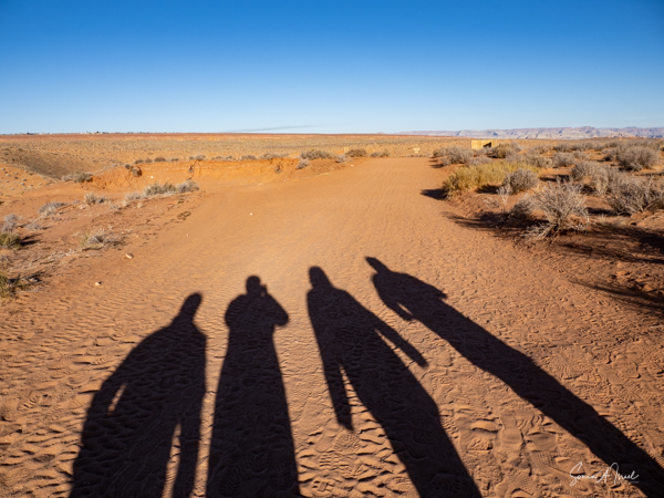
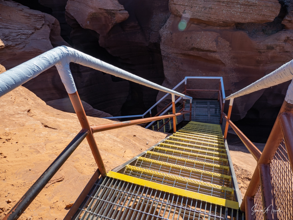
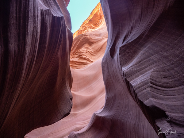
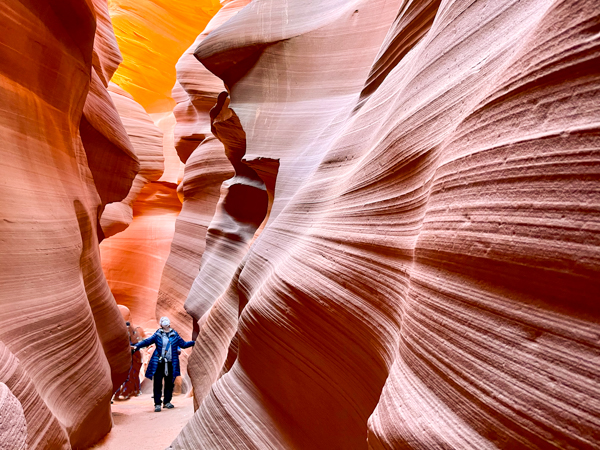
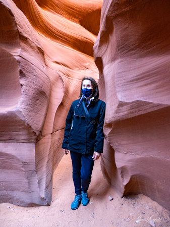
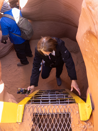
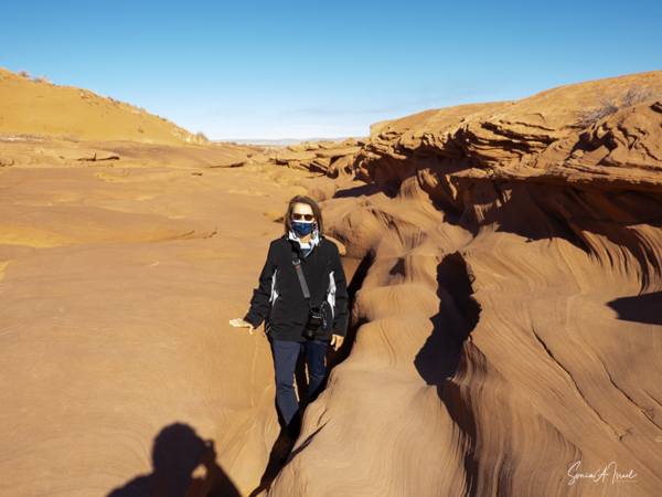
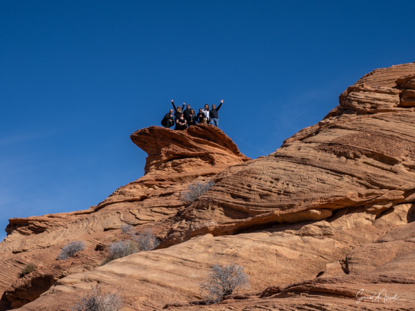
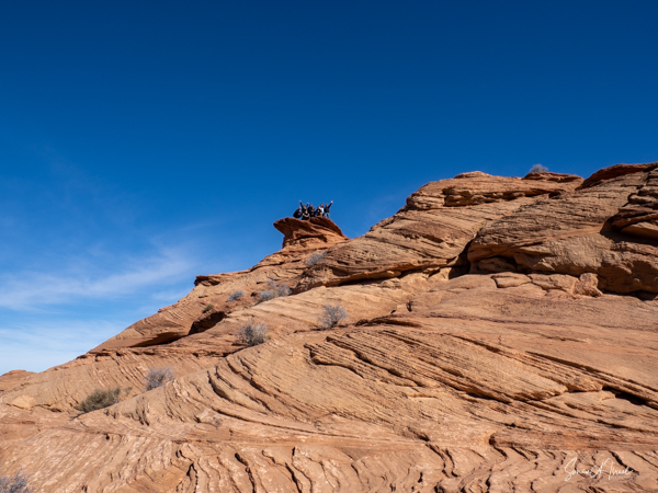
We met our guide, Rod, and headed with our small group of six towards the entrance. Entrance? All we could see was the flat land heading to the foothills. You can’t see either the entrance or the exit until you are just about on top of it.
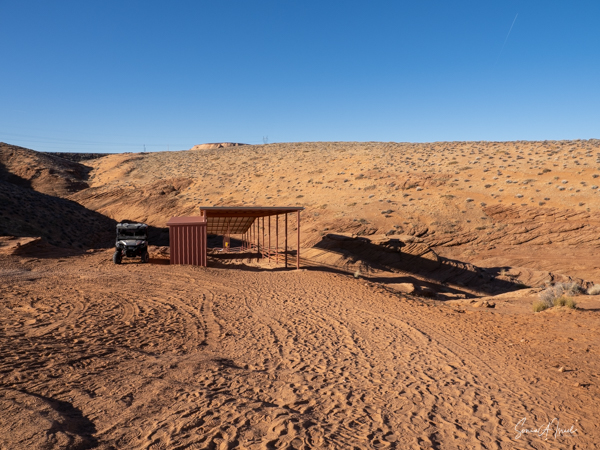
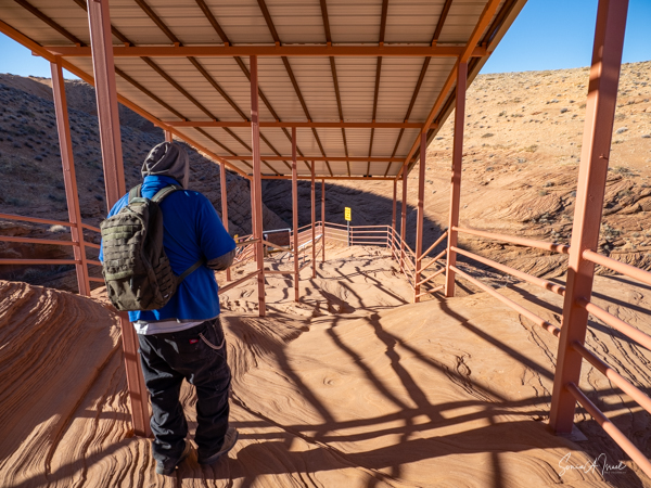
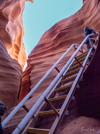
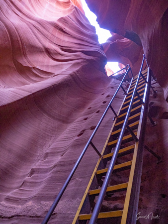
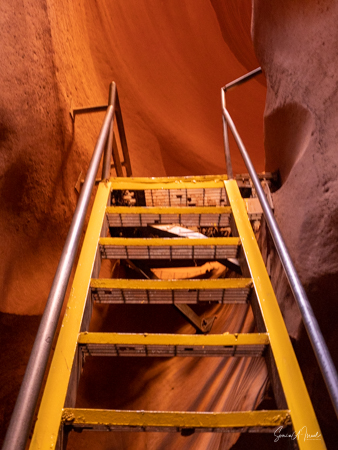
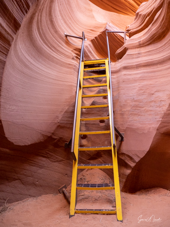
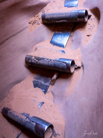
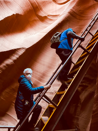
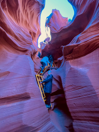
We did get to the entrance and headed down our first flight of narrow stairs. These were the last stairs we saw, as the rest of the ups and downs were on ladders. This part of the canyon is about 1,335 feet long so there was lots of walking to do.
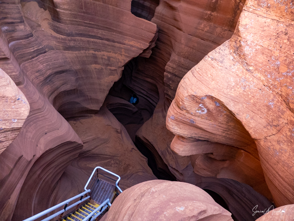
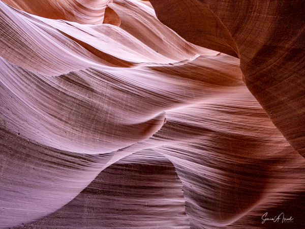
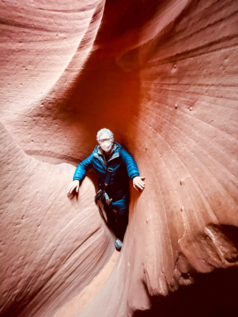
And immediately, my breath was taken away. Literally. The beauty of this place is indescribable. I could not stop looking, up, down and all around. And of course, I couldn’t stop taking pictures.
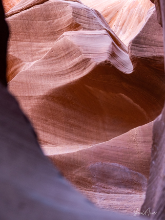
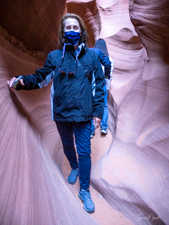
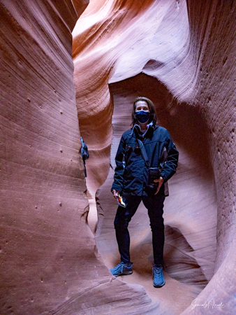
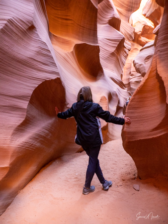
And that was just the beginning. We walked through, in all going up five flights of stairs (ladders), walking through long, narrow areas over sandy floors.
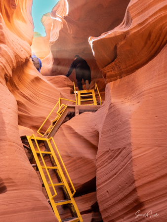
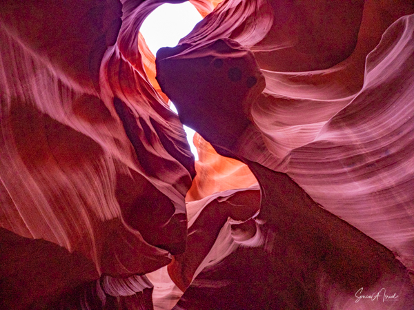
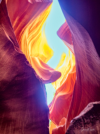
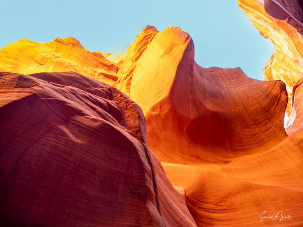
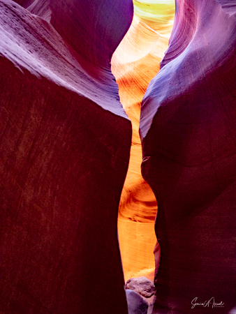
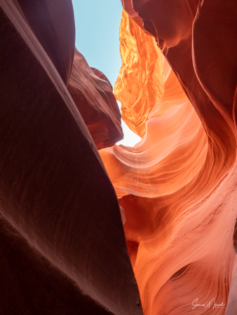
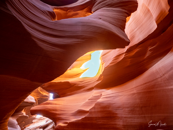
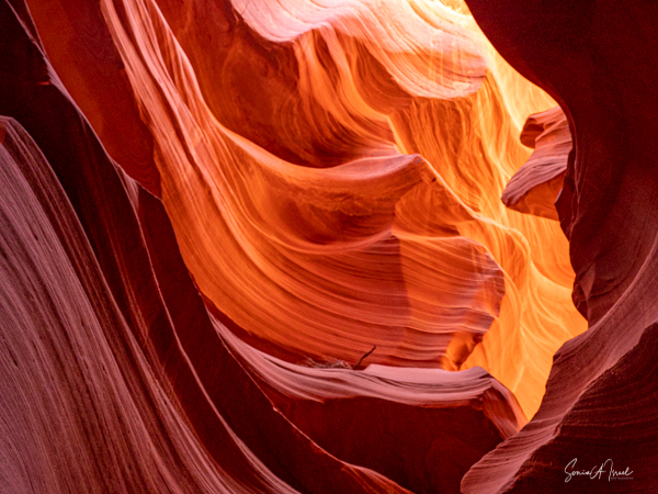
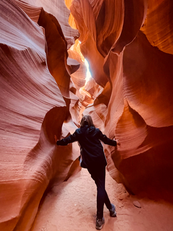
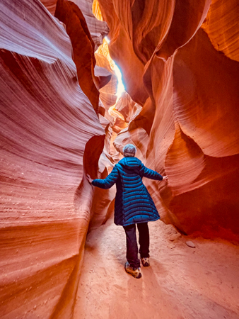
There were often small openings to the blue sky which let light in and at times the light was magnificent, creating amazing displays of color, light and shadow. I am posting more photos than I usually do because each one shows the beauty of the canyon. I highly recommend clicking on the pictures to enlarge them and then look at them one at a time.
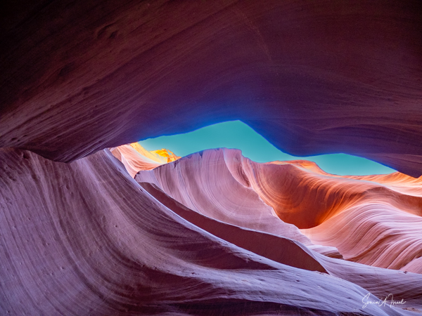
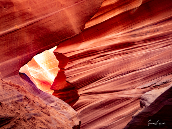
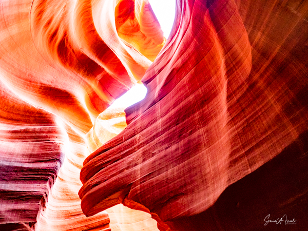
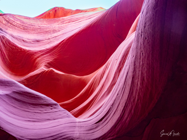
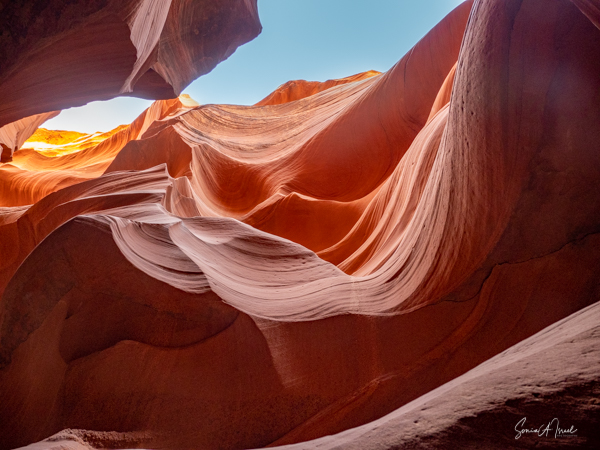
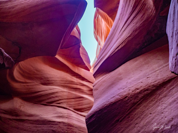
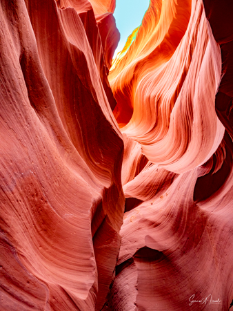
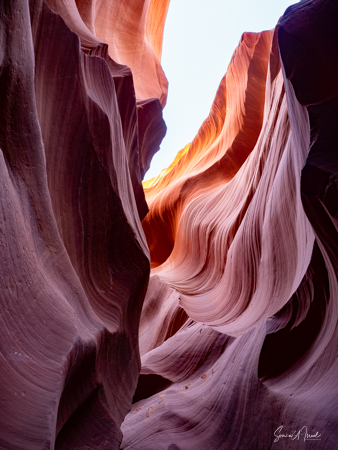
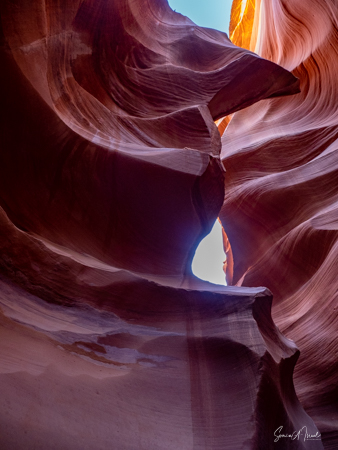
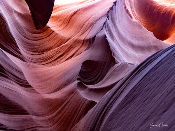
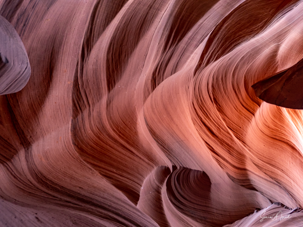
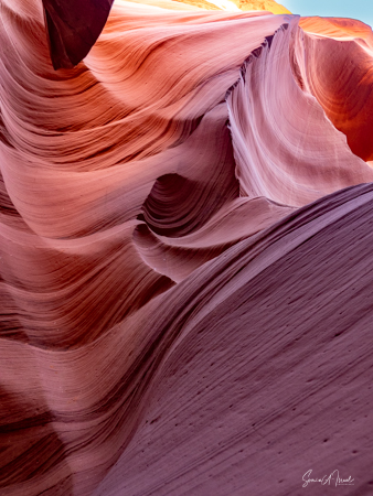
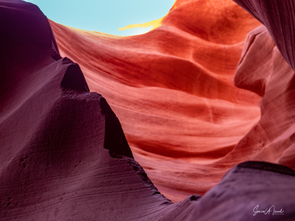
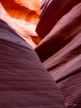
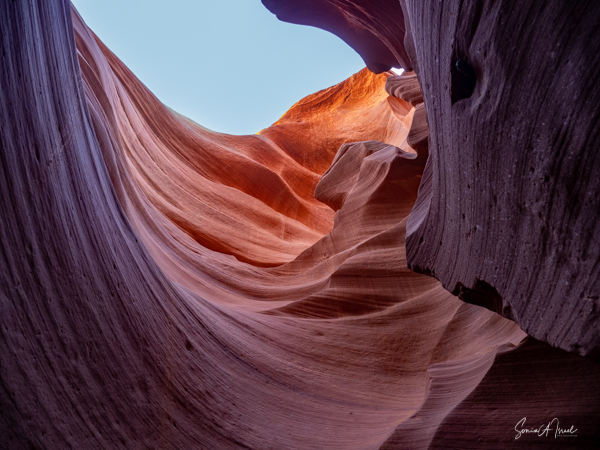
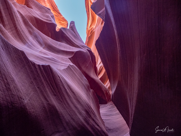
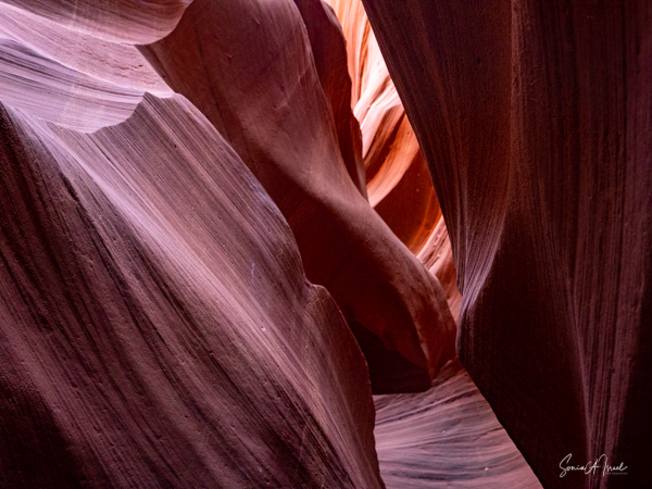
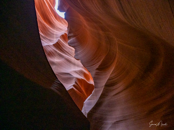
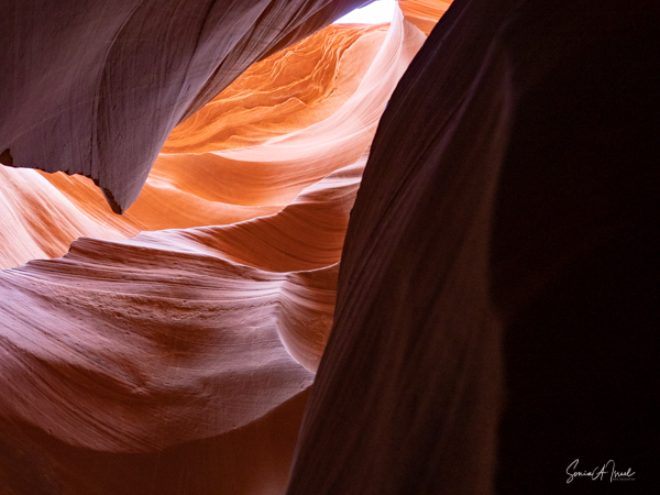
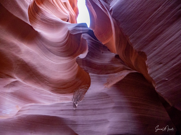
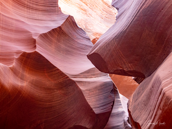
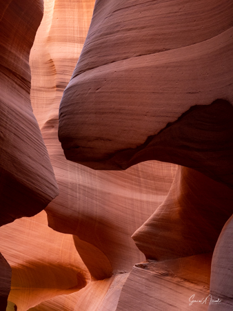
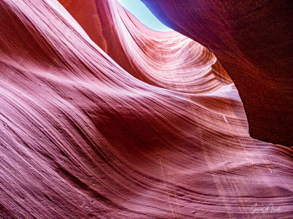
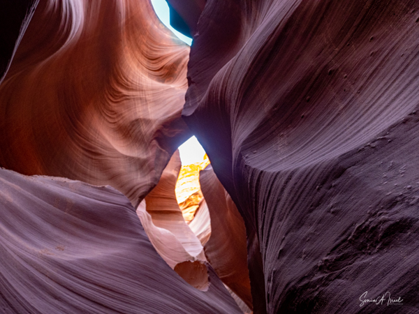
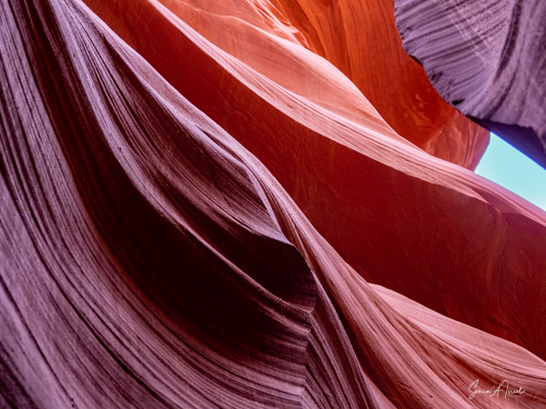
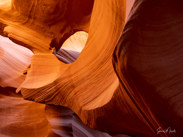
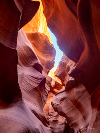
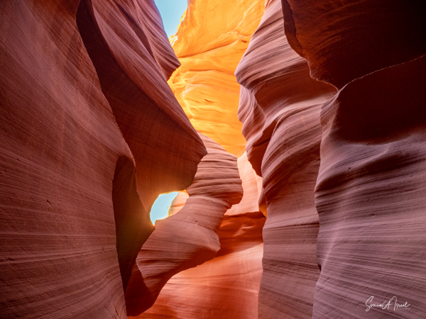

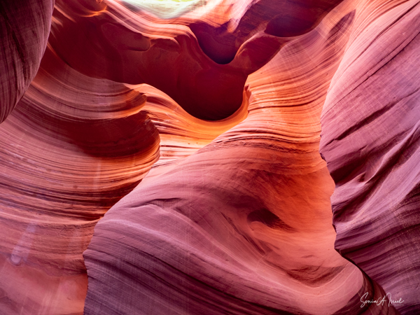
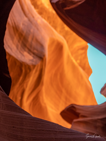
But for me it was all about the light.
We hiked through for about an hour, of course stopping often to take pictures and have our pictures taken.

Rod, our guide explained that the Navajo like to find shapes and objects in the rocks and he pointed out all sorts of shapes like the growling bear, the lion, the buffalo, the Indian Chief (that one really looked like an Native American chief in a headdress), the shark, and the US Postal Office eagle.
At the end, we climbed up the last ladder and out through a narrow opening. Looking back at it, you could hardly see where it was. Eerie.
Upper Canyon
The Upper Canyon is about 660 feet long. Although we did not visit the Upper Canyon, I will briefly tell you that it is an easier visit than the lower one. The entrance and the entire hike is at ground level so there are no stairs or ladders to climb. Since it is higher up, there are more direct sun beams, but mostly in the summer.
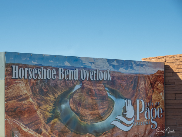
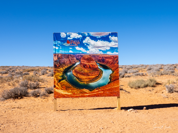
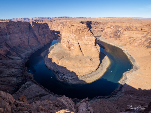
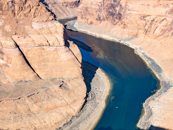
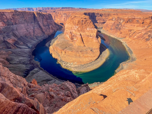
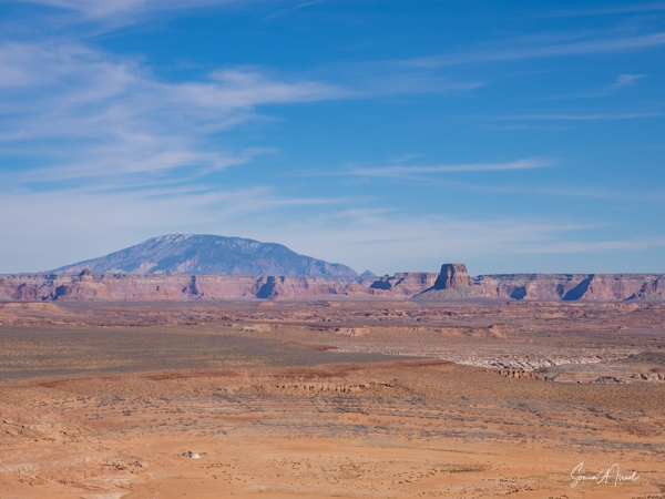
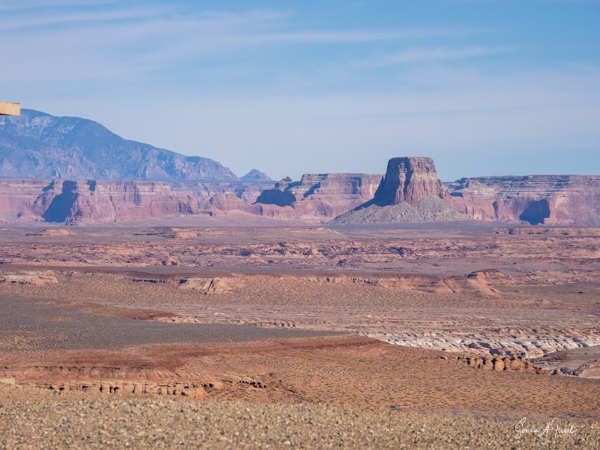
Horseshow Bend
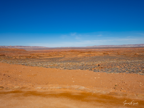
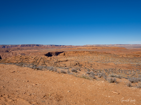
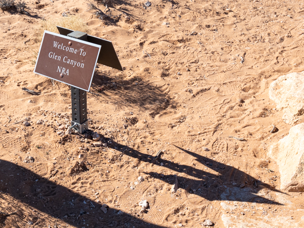
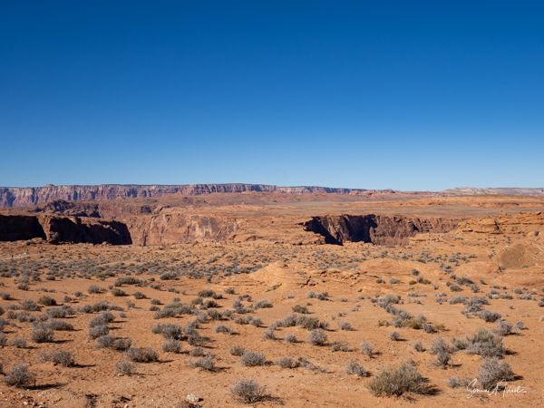
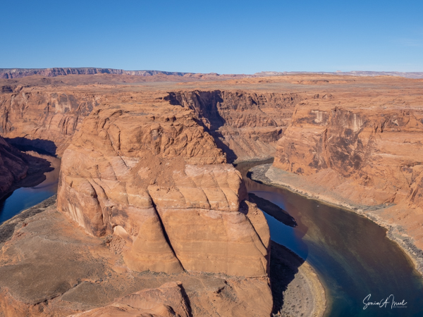
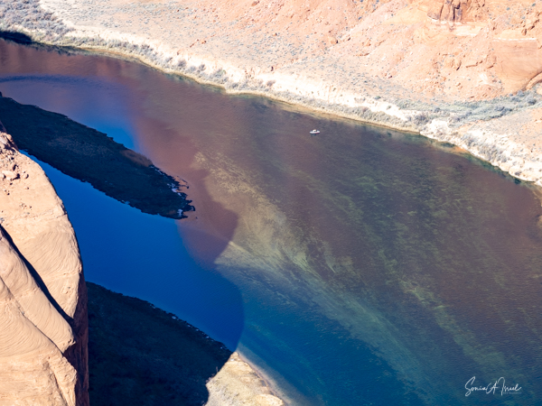
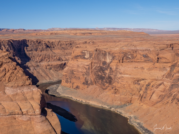
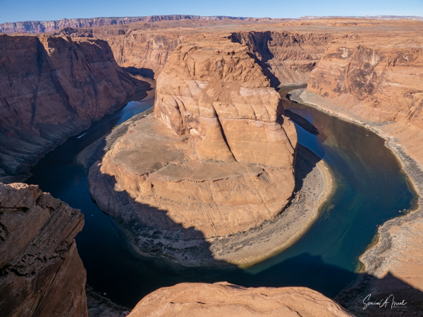
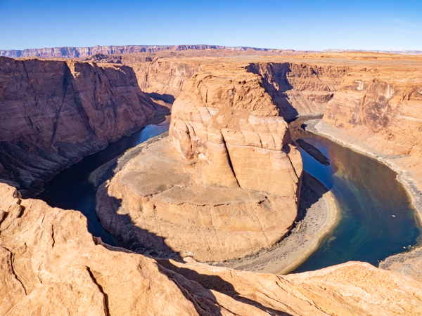
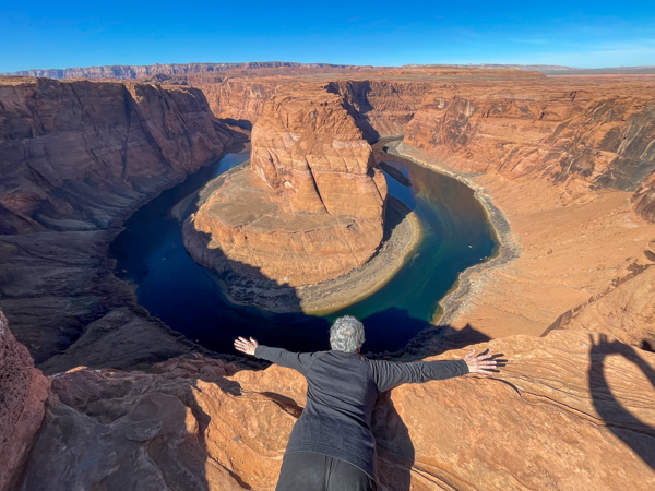
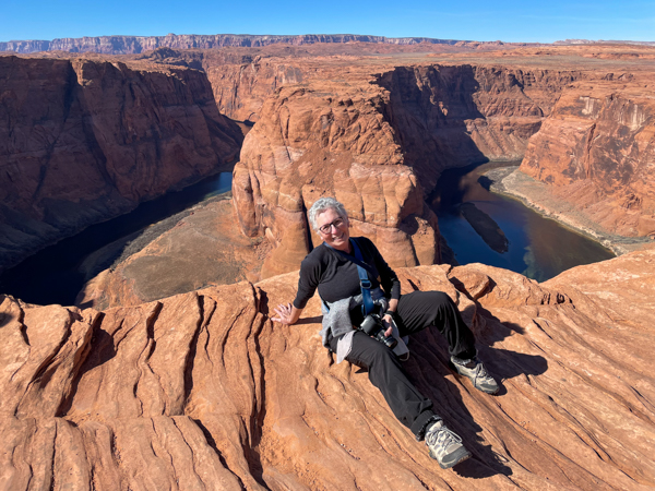
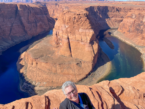
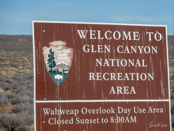
Our next stop was Horseshoe Bend. As the name suggests, it is a horseshoe shaped part of the Colorado River, also near Page, Arizona. It is a fabulous example of water following the path of least resistance. Some people call this the East rim of the Grand Canyon. Horseshoe is thought to be one of the most unique geological phenomenon found within the Glen Canyon National Recreation Area. The sheer cliff rock walls are dense Navajo sandstone which act as a natural barrier to the flow of the river, forcing the Colorado River to turn sharply and travel through softer rock.
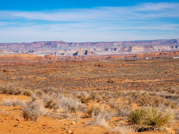
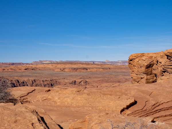
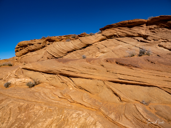
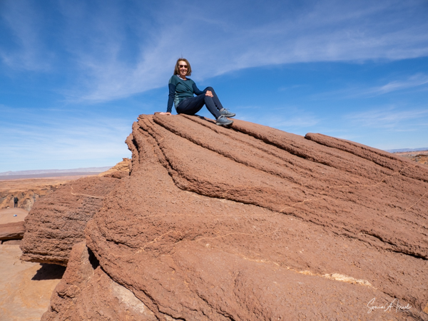
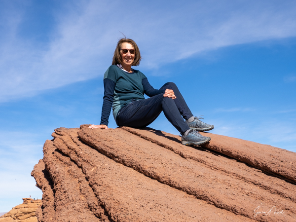
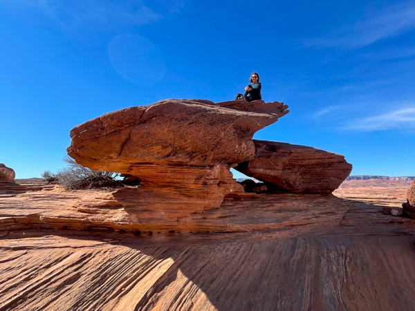
It was a long hike on a paved path down to the bend. But we were surrounded by beautiful desert in all colors so there was always something to look at.
We finally reached the top of the bend and looked down. The sun was not that high in the sky, so there were lots of shadows on the water. Nevertheless, it was still beautiful.
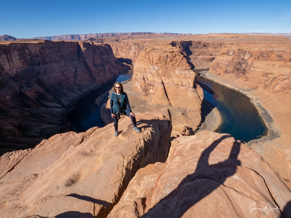
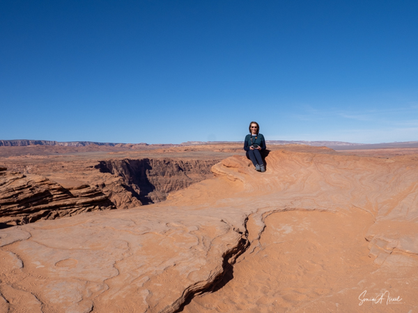
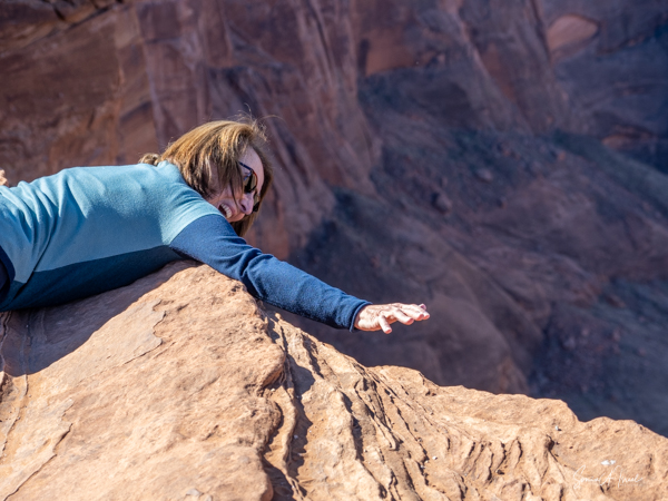
Ted showed us all the spots to take the best pictures, including ones that made it look like we were falling or flying.
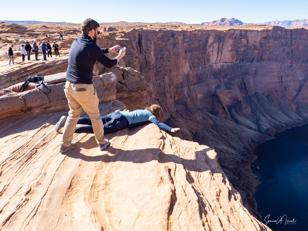
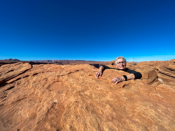
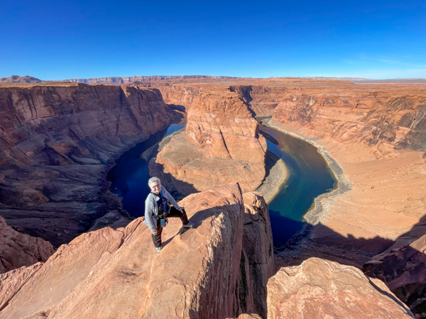
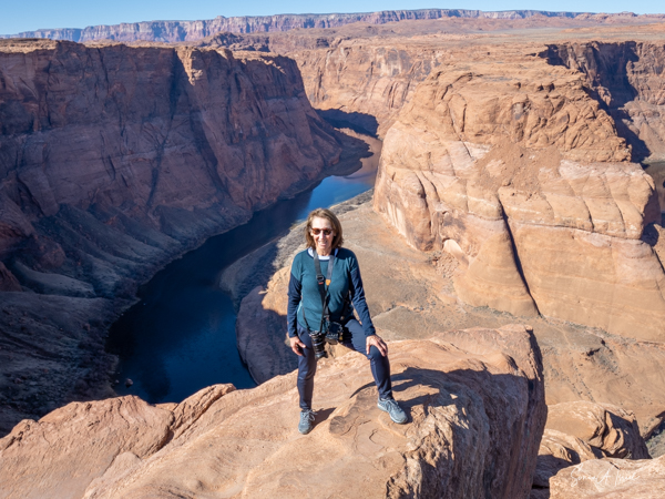
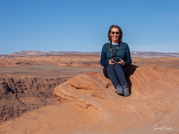
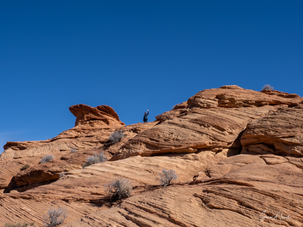
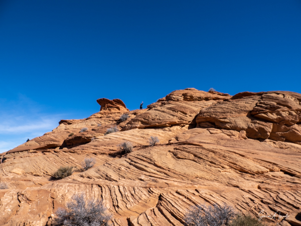
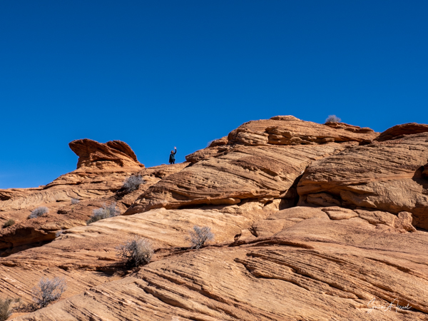
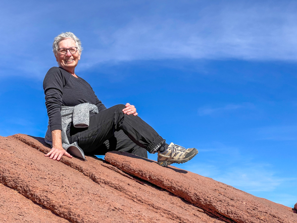
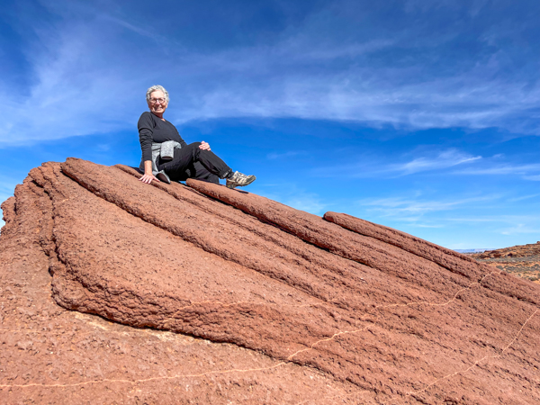
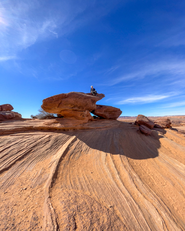
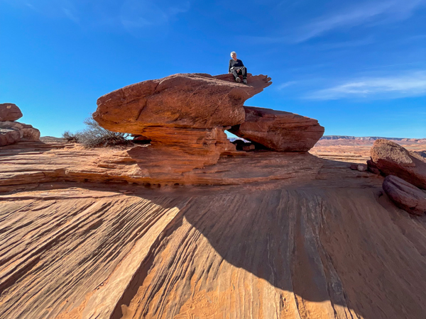
Most of the group climbed up to the very top to get a bird’s eye view, but I stayed below.


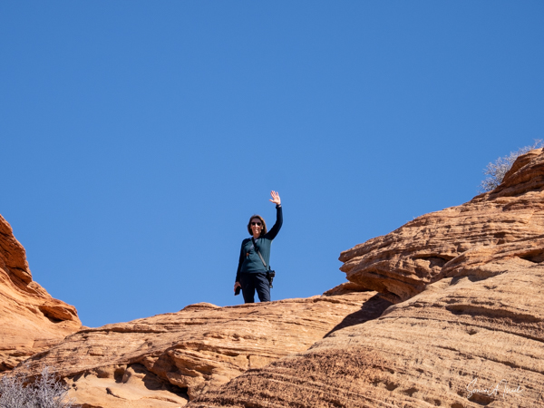
And from up there, Ruthi got a great picture of Horseshoe Bend and me.
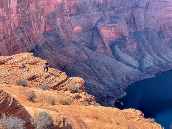
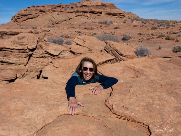
And while I did not climb to the very top, I did do a bit of climbing with Ruthi.
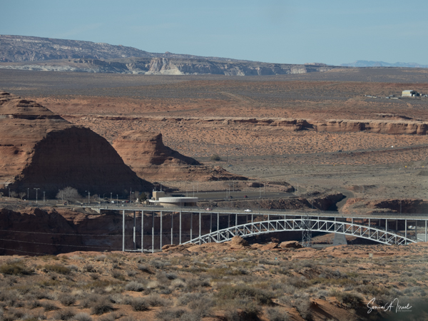
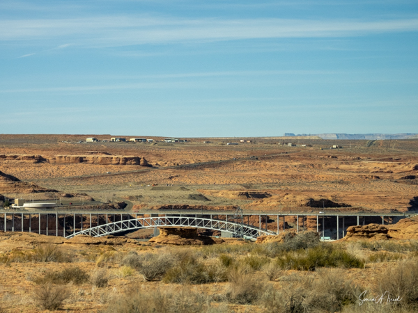
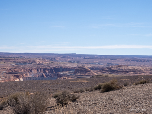
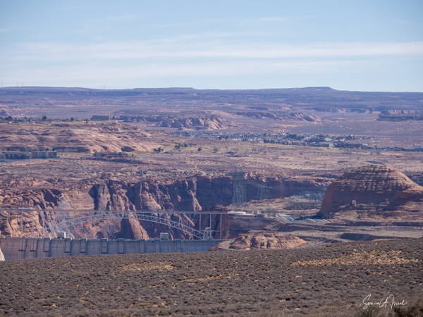
Glen Canyon Dam
On the way we passed the Glen Canyon Dam.
The Glen Canyon Dam is only five miles from Horseshoe Bend. The dam rises 710 feet above the bedrock within the steep, rust-colored sandstone walls of the Glen Canyon. It harnesses the power of the Colorado River, thus providing water and power to millions of us living in the West.

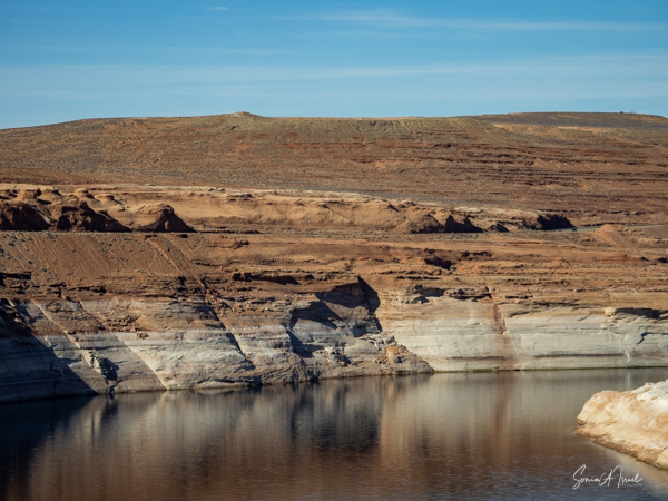
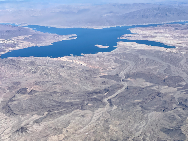
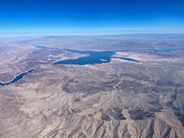
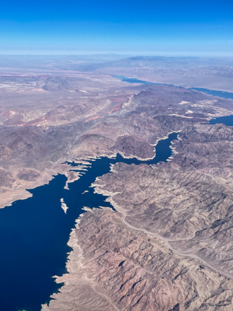
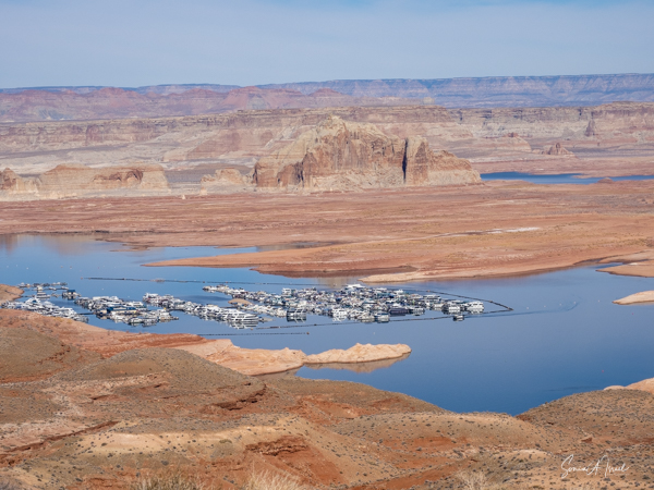
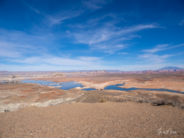
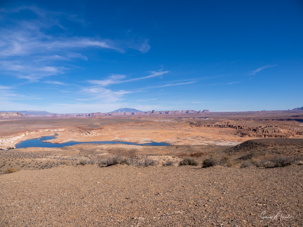
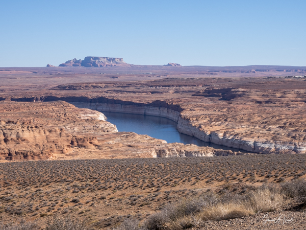
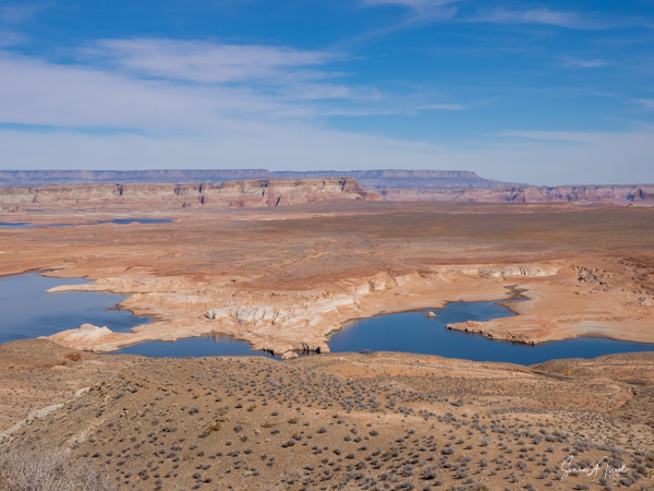
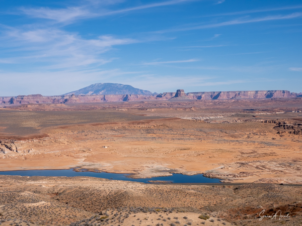
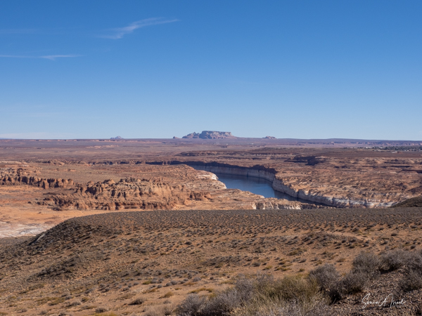
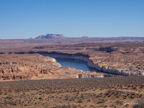
Lake Powell
Many years ago, my family and I rented a houseboat on Lake Powell. It was one of our favorite trips as we tried to navigate the boat among the beautiful canyon walls. But climate changes have taken their toll, and there is hardly any water left here.
We stopped on our way back to Las Vegas, after leaving Horseshoe Bend. What is Lake Powell? It is an artificial reservoir on the Colorado River, the second largest after Lake Mead. It was created by flooding Glen Canyon and is named for John Wesley Powell who was a civit war veteran who explored the river area back in 1869,
But the drought on the West Coast has resulting in very low lake levels. In February of 2022, the water level was at only 25% capacity, the lowest it has been since it was first filled in 1963. Although beautiful still, it was very depressing to see.

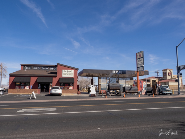
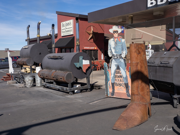
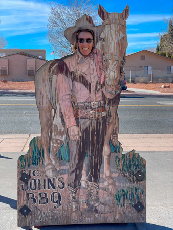
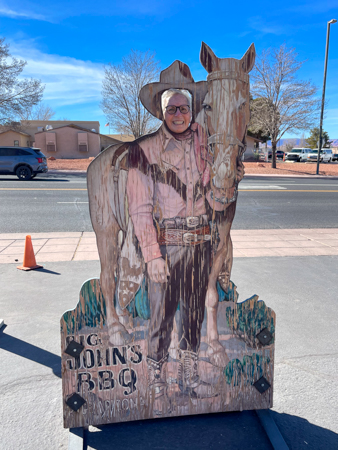
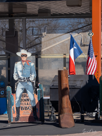
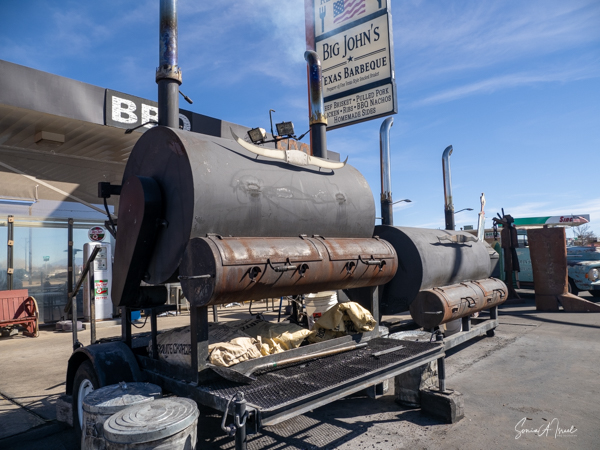
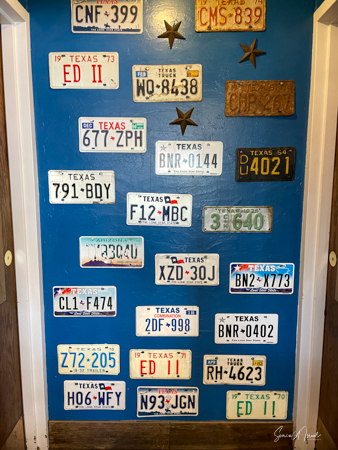
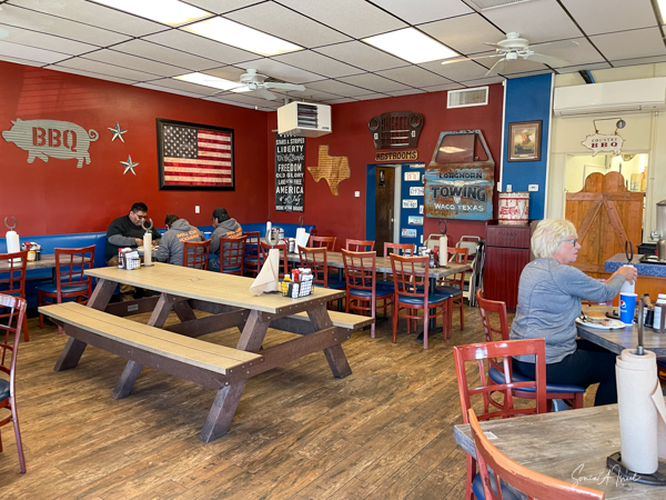
Big John’s Texas BBQ
We stopped for dinner before heading back to Las Vegas. We each chose our own place to eat in Page, Arizona. Ruthi and I chose barbeque at Big John’s, described as “a BBQ joint with a retro vibe slinging brisket & other slow-smoked eats in a former gas station.” And it was delicious as well as indeed, retro.

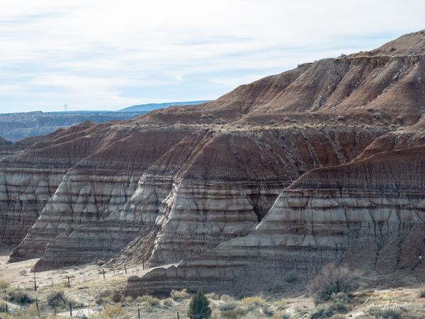
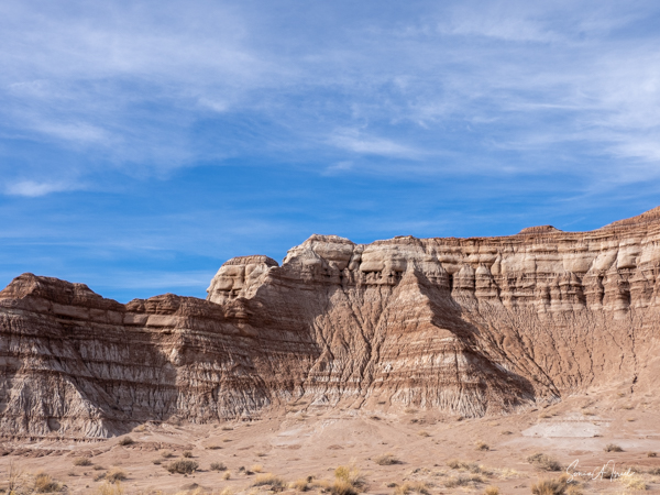
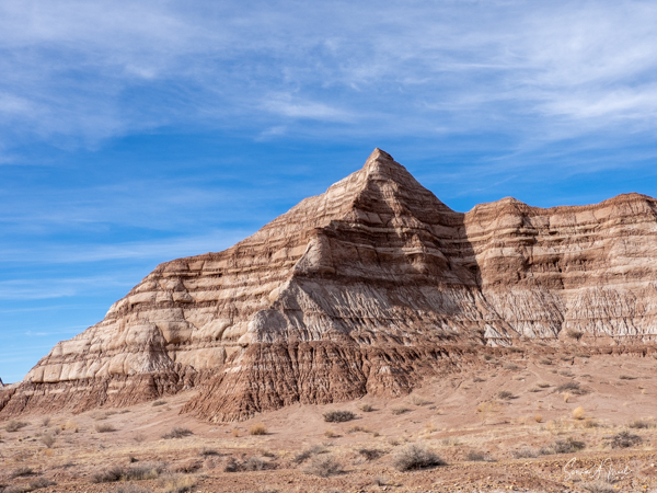
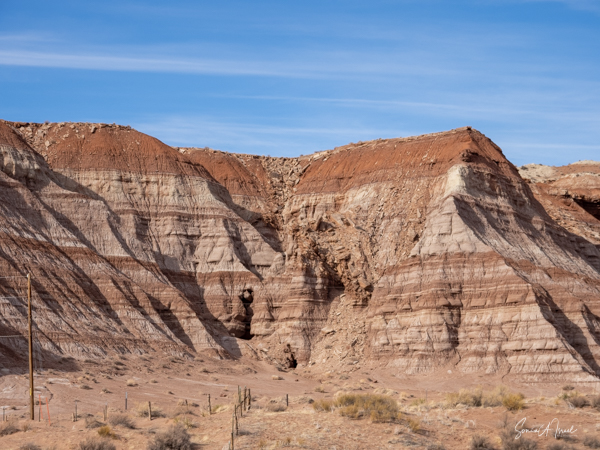
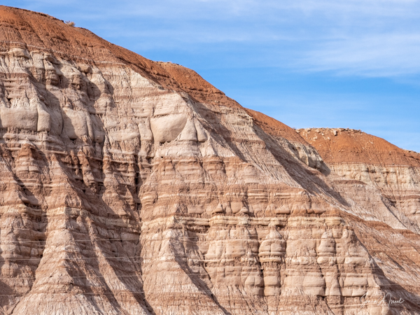
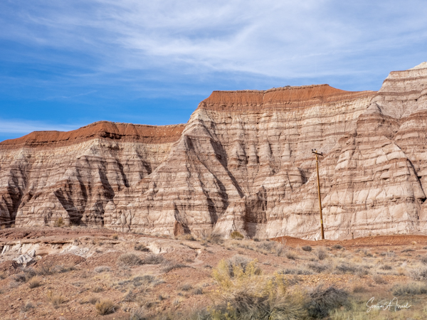
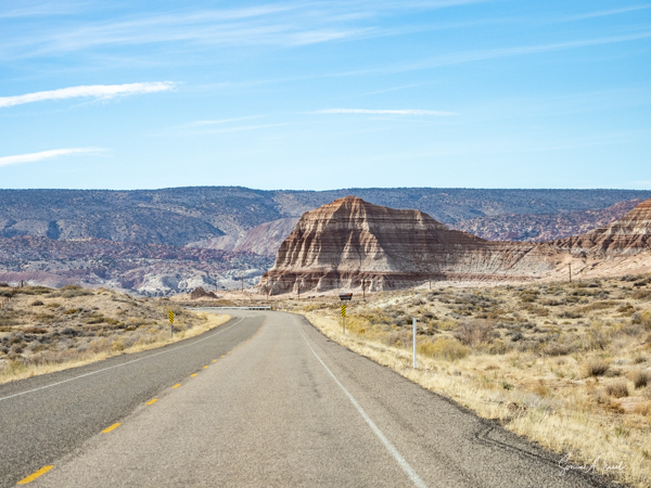
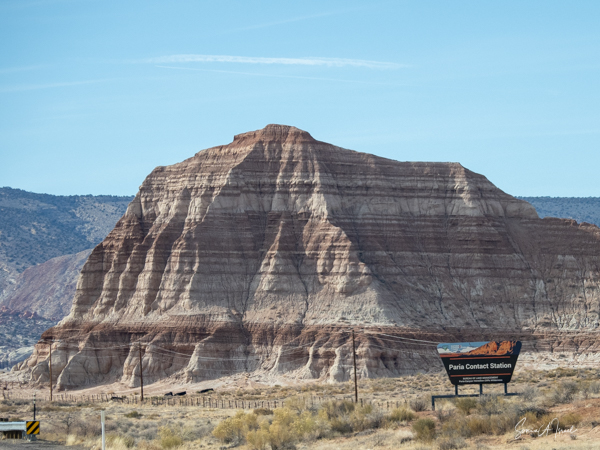
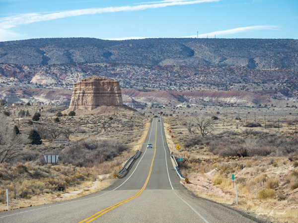
Tiramisu Mountains
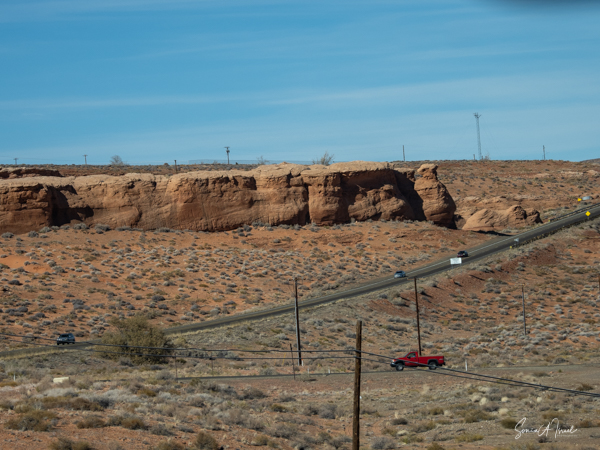
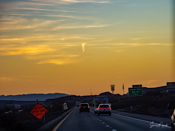
As we drove along the Utah Scenic Byway (SR-12), we drove through the Escalante Mountains, within the Dixie National Forest. They reach as high as 10,500 feet and look like the are layers of chocolate and crème, sprinkled on top with cinnamon. And for that reason, Ted called them the Tiramisu Mountains.
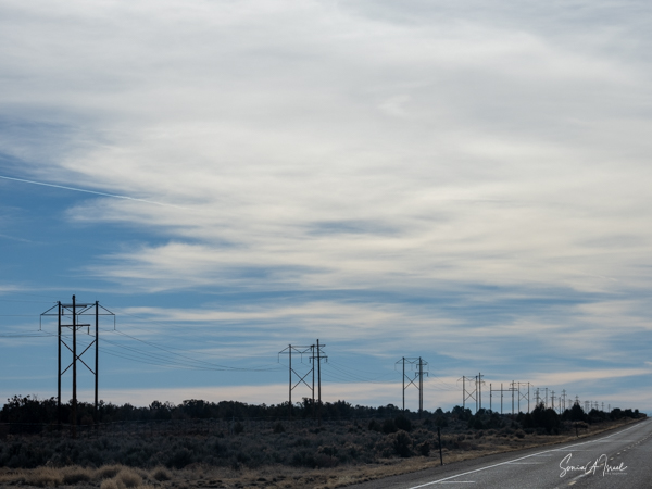
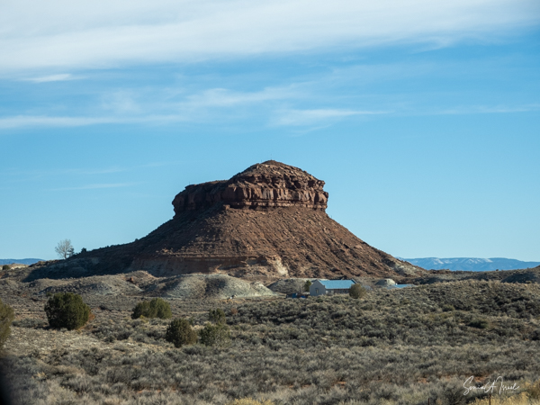
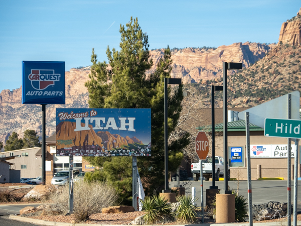
We had passed through Arizona and Nevada and Utah.
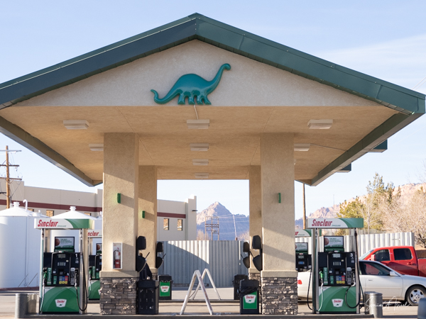
And we stopped at a Sinclair gas station, which I had not seen in years and years. It made me smile.

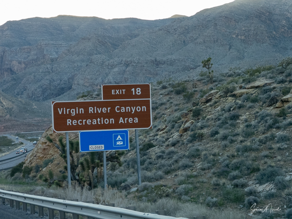
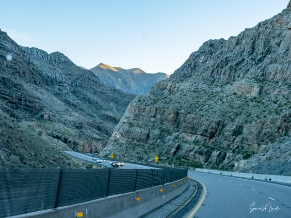
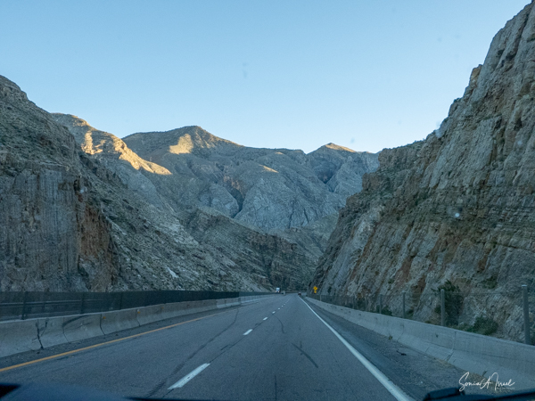
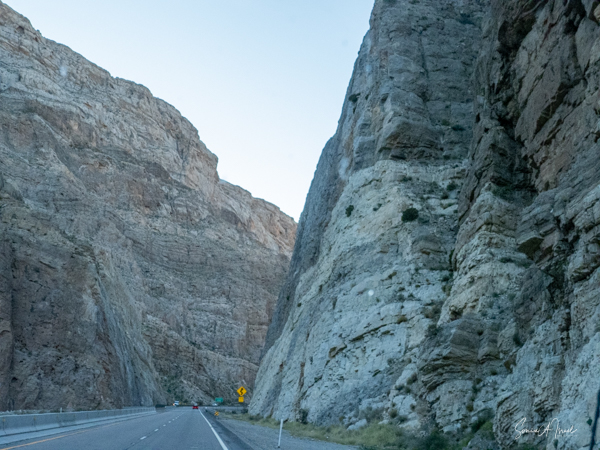
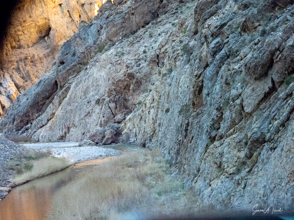
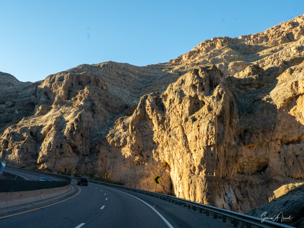
Virgin River
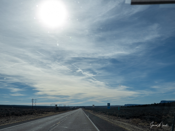
Our last scenic drive was through the Virgin River Canyon in St. George, Utah. It is a long canyon carved out by the Virgin River, which also created the topography of Zion National Park. At this point we were on Interstate 15 and we crossed the Virgin River a few times as we wound around the canyon. I was glad I was not the one driving.
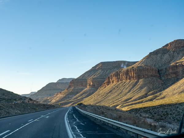
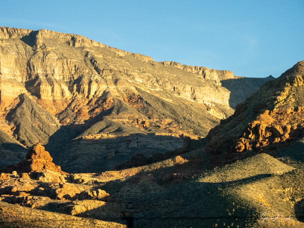
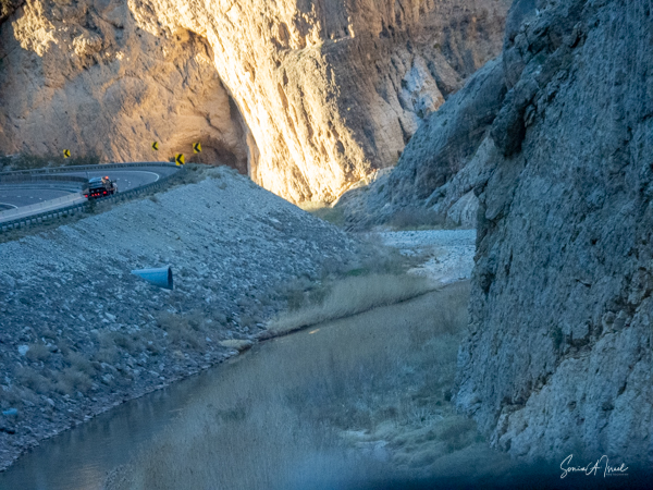
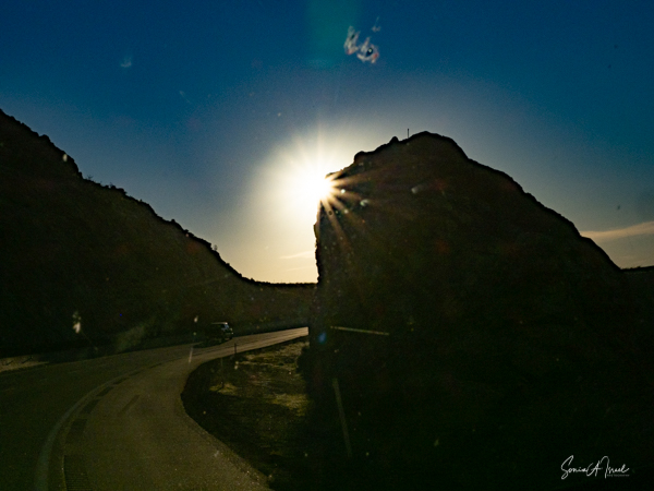
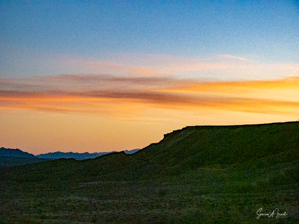
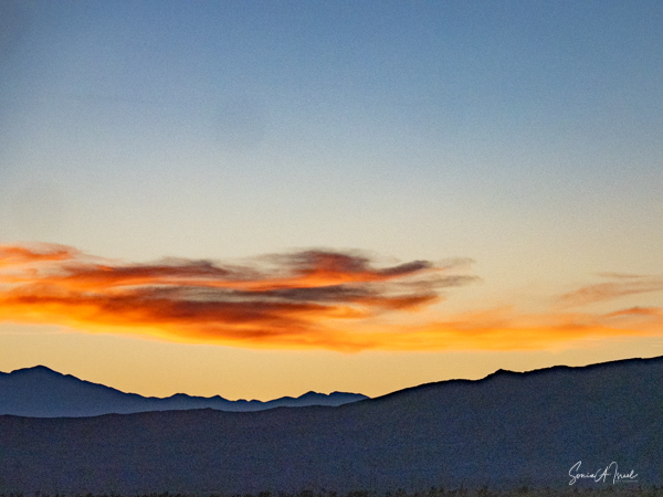
And then the sun began to set and gave us another light show.
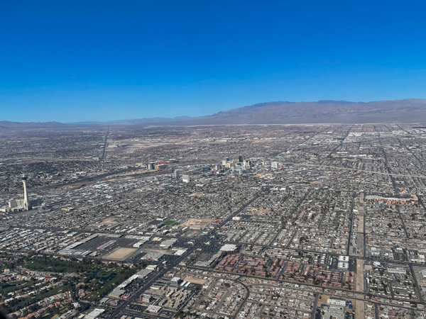
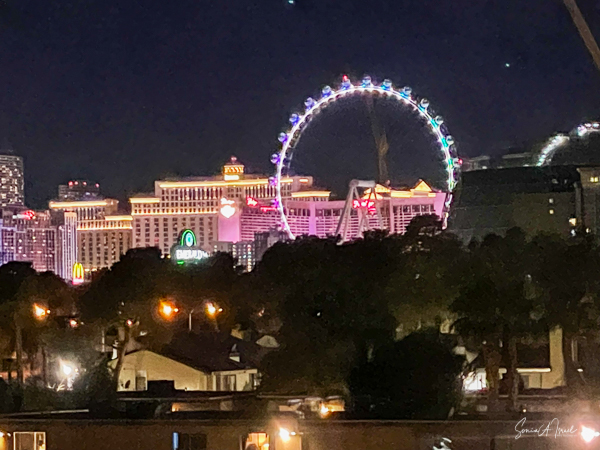
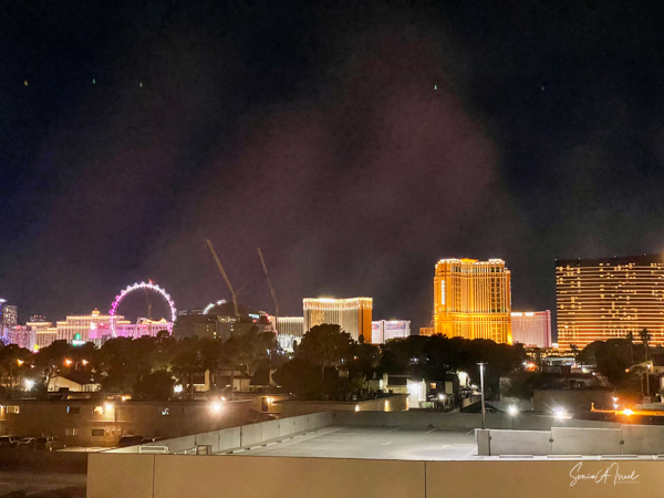
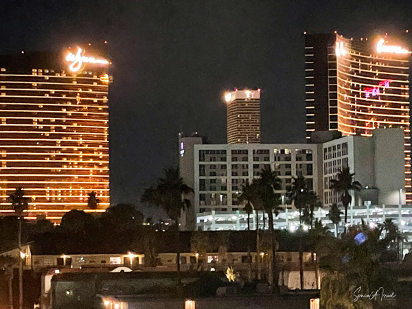
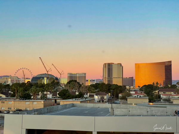
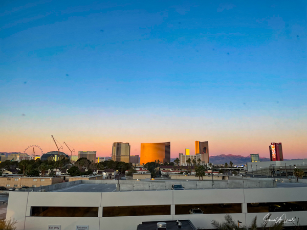
Back in Las Vegas
We got back late in the day, exhausted but exhilarated. And then we noticed the lights of the Las Vegas Strip from our window and sunrise the next morning.
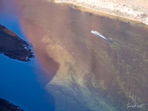
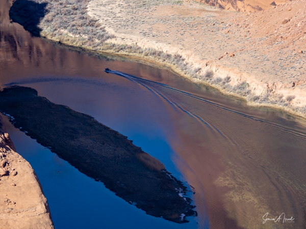
Flying home
As we flew home, happy about our quick 4 day trip, we had one more sight of the desert and river below us.